Earthquake Bali Sea
Sat, 07 Feb 2026 00:24:39 GMT
Time1 hour ago
Location
-7.8895, 117.3249
Depth
17.9 KM
Event Summary
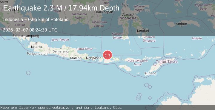
A 2.3 magnitude earthquake struck on Bali Sea, at Sat, 07 Feb 2026 00:24:39 GMT. Depth: 17.938366km. Reviewed by BMKG seismologists, this minor quake occurred at a magnitude type of M.
Magnitude
2.3
M
Source
BMKG
Intensity
-
Agency Reports
1 Sources| Source | Magnitude | Depth | Time |
|---|---|---|---|
| BMKGPrimary | 2.3 | 18 km | 1 hour ago |
Earthquake Details
AutomaticEvent IDbmg2026cpql
Tsunami PotentialNo
Magnitude TypeM
Nearest Places
- Gosong Sakunci15.3 km
- Pulau Sadapur18.5 km
- Gosong Sadapur26.2 km
- Desa Bugis Medang28.6 km
- Pulau Medang28.8 km
Comments
Join the discussion about this event.
Latest Earthquakes
2.3Mag
PUERTO RICO
Time17 minutes ago
Depth12.70 km
SourcePR (Automatic)
2.5Mag
Flores Region, Indonesia
Time20 minutes ago
Depth77.61 km
SourceBMKG (Automatic)
3.0Mag
OFF W. COAST OF N. ISLAND, N.Z.
Time20 minutes ago
Depth5.00 km
SourceGNS (Automatic)
1.5Mag
57 km SSE of King Salmon, Alaska
Time22 minutes ago
Depth10.40 km
SourceUSGS (Automatic)
1.4Mag
2 km S of Redwood Valley, CA
Time26 minutes ago
Depth5.94 km
SourceUSGS (Automatic)
Nearby Earthquakes
2.3Mag
Bali Sea
Time2 weeks ago
Depth10.00 km
SourceBMKG (Automatic)
2.5Mag
Bali Sea
Time6 days ago
Depth18.29 km
SourceBMKG (Automatic)
2.2Mag
Bali Sea
Time3 days ago
Depth10.00 km
SourceBMKG (Automatic)
2.5Mag
Bali Sea
Time2 days ago
Depth17.51 km
SourceBMKG (Automatic)
2.3Mag
Bali Sea
Time6 days ago
Depth18.72 km
SourceBMKG (Automatic)