Earthquake Halmahera, Indonesia
Wed, 11 Feb 2026 06:08:25 GMT
Time1 week ago
Location
2.6254, 128.5829
Depth
219.4 KM
Event Summary
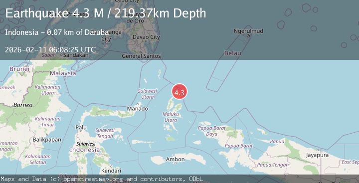
A 4.3 magnitude earthquake struck on Halmahera, Indonesia, at Wed, 11 Feb 2026 06:08:25 GMT. Depth: 219.372986km. Reviewed by BMKG seismologists, this light quake occurred at a magnitude type of M.
Magnitude
4.3
M
Source
BMKG
Intensity
-
Agency Reports
1 Sources| Source | Magnitude | Depth | Time |
|---|---|---|---|
| BMKGPrimary | 4.3 | 219 km | 1 week ago |
Earthquake Details
ManualEvent IDbmg2026cxju
Tsunami PotentialNo
Magnitude TypeM
Nearest Places
- Papuamalolu1.5 km
- Tanjung Sopi2.6 km
- Kakaibabao3.3 km
- Tanjung Modiu4.5 km
- Desa Loleo4.8 km
Comments
Join the discussion about this event.
Latest Earthquakes
2.8Mag
Antofagasta, Chile
Time7 minutes ago
Depth0.00 km
SourceVYT (Automatic)
3.3Mag
Near North Coast of West Papua
Time8 minutes ago
Depth10.00 km
SourceBMKG
2.5Mag
off the coast of Tarapaca, Chile
Time9 minutes ago
Depth0.00 km
SourceVYT (Automatic)
2.6Mag
Sunda Strait, Indonesia
Time10 minutes ago
Depth8.74 km
SourceBMKG
2.8Mag
Ceram Sea
Time11 minutes ago
Depth5.46 km
SourceBMKG
Nearby Earthquakes
3.2Mag
Halmahera, Indonesia
Time3 days ago
Depth185.23 km
SourceBMKG
5.0Mag
HALMAHERA, INDONESIA
Time15 years ago
Depth242.00 km
SourceEMSC (Automatic)
3.0Mag
HALMAHERA, INDONESIA
Time3 years ago
Depth202.00 km
SourceDJA (Automatic)
3.3Mag
HALMAHERA, INDONESIA
Time1 month ago
Depth200.00 km
SourceBMKG (Automatic)
5.3Mag
HALMAHERA, INDONESIA
Time18 years ago
Depth242.00 km
SourceEMSC (Automatic)