Earthquake Halmahera, Indonesia
Sun, 15 Feb 2026 13:22:30 GMT
Time3 days ago
Location
2.6811, 128.5767
Depth
185.2 KM
Event Summary
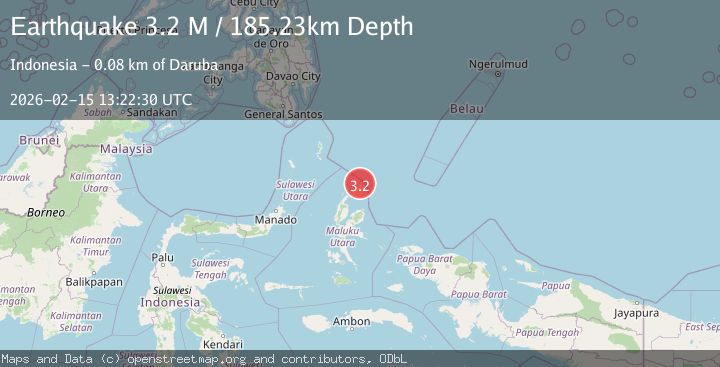
A 3.2 magnitude earthquake struck on Halmahera, Indonesia, at Sun, 15 Feb 2026 13:22:30 GMT. Depth: 185.234451km. Reviewed by BMKG seismologists, this minor quake occurred at a magnitude type of M.
Magnitude
3.2
M
Source
BMKG
Intensity
-
Agency Reports
1 Sources| Source | Magnitude | Depth | Time |
|---|---|---|---|
| BMKGPrimary | 3.2 | 185 km | 3 days ago |
Earthquake Details
ManualEvent IDbmg2026dfgc
Tsunami PotentialNo
Magnitude TypeM
Nearest Places
- Tanjung Sopi4.3 km
- Kakaibabao6.1 km
- Papuamalolu7.5 km
- Tanjung Modiu8.2 km
- Desa Loleo10.9 km
Comments
Join the discussion about this event.
Latest Earthquakes
2.2Mag
West Papua Region, Indonesia
Time3 hours ago
Depth10.00 km
SourceBMKG
2.4Mag
Tarapaca, Chile
Time3 hours ago
Depth109.25 km
SourceVYT (Automatic)
2.8Mag
Minahassa Peninsula, Sulawesi
Time3 hours ago
Depth8.76 km
SourceBMKG
0.6Mag
Southern Alaska
Time3 hours ago
Depth7.20 km
SourceVYT (Automatic)
3.0Mag
Tarapaca, Chile
Time3 hours ago
Depth140.38 km
SourceVYT (Automatic)
Nearby Earthquakes
5.0Mag
HALMAHERA, INDONESIA
Time15 years ago
Depth242.00 km
SourceEMSC (Automatic)
3.3Mag
HALMAHERA, INDONESIA
Time1 month ago
Depth200.00 km
SourceBMKG (Automatic)
4.5Mag
HALMAHERA, INDONESIA
Time1 month ago
Depth230.50 km
SourceEMSC (Automatic)
4.3Mag
Halmahera, Indonesia
Time1 week ago
Depth219.37 km
SourceBMKG
5.2Mag
HALMAHERA, INDONESIA
Time15 years ago
Depth40.00 km
SourceEMSC (Automatic)