Earthquake Near North Coast of West Papua
Wed, 11 Feb 2026 10:43:59 GMT
Time1 week ago
Location
-2.5824, 140.1882
Depth
10.0 KM
Event Summary
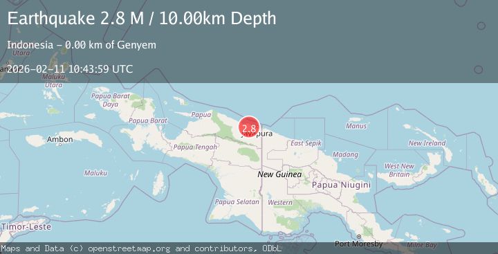
A 2.8 magnitude earthquake struck on Near North Coast of West Papua, at Wed, 11 Feb 2026 10:43:59 GMT. Depth: 10km. Reviewed by BMKG seismologists, this minor quake occurred at a magnitude type of M.
Magnitude
2.8
M
Source
BMKG
Intensity
-
Agency Reports
1 Sources| Source | Magnitude | Depth | Time |
|---|---|---|---|
| BMKGPrimary | 2.8 | 10 km | 1 week ago |
Earthquake Details
ManualEvent IDbmg2026cxsx
Tsunami PotentialNo
Magnitude TypeM
Nearest Places
- 0.7 km
- 1.4 km
- 1.4 km
- 1.4 km
- 1.9 km
Comments
Join the discussion about this event.
Latest Earthquakes
1.4Mag
Southern California
Time2 minutes ago
Depth16.97 km
SourceVYT (Automatic)
1.1Mag
northwestern Russia
Time6 minutes ago
Depth27.59 km
SourceVYT (Automatic)
1.9Mag
WESTERN TURKEY
Time10 minutes ago
Depth7.00 km
SourceAFAD (Automatic)
1.9Mag
Unimak Island region, Alaska
Time11 minutes ago
Depth26.61 km
SourceVYT (Automatic)
3.0Mag
Tarapaca, Chile
Time17 minutes ago
Depth111.57 km
SourceVYT (Automatic)
Nearby Earthquakes
2.4Mag
Near North Coast of West Papua
Time2 hours ago
Depth11.54 km
SourceBMKG
2.5Mag
NEAR N COAST OF PAPUA, INDONESIA
Time1 month ago
Depth33.00 km
SourceBMKG (Automatic)
3.0Mag
NEAR N COAST OF PAPUA, INDONESIA
Time3 months ago
Depth26.00 km
SourceBMKG (Automatic)
2.6Mag
Near North Coast of West Papua
Time1 week ago
Depth42.25 km
SourceBMKG
5.5Mag
NEAR N COAST OF PAPUA, INDONESIA
Time10 years ago
Depth60.00 km
SourceEMSC (Automatic)