Earthquake Near North Coast of West Papua
Sun, 22 Feb 2026 20:36:35 GMT
Time1 hour ago
Location
-2.5762, 140.1646
Depth
11.5 KM
Event Summary
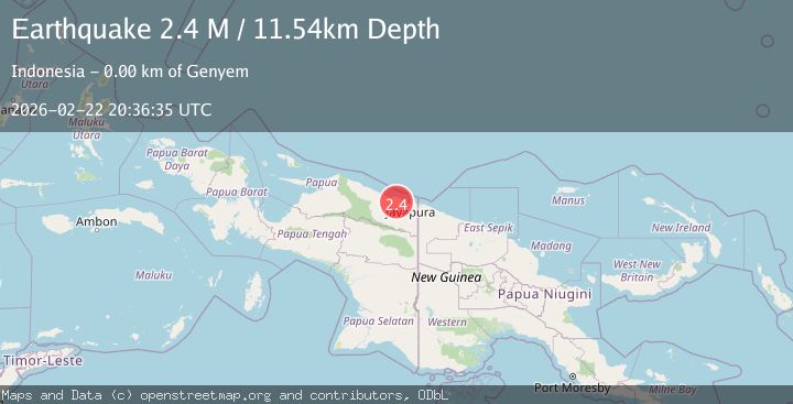
A 2.4 magnitude earthquake struck on Near North Coast of West Papua, at Sun, 22 Feb 2026 20:36:35 GMT. Depth: 11.538486km. Reviewed by BMKG seismologists, this minor quake occurred at a magnitude type of M.
Magnitude
2.4
M
Source
BMKG
Intensity
-
Agency Reports
1 Sources| Source | Magnitude | Depth | Time |
|---|---|---|---|
| BMKGPrimary | 2.4 | 12 km | 1 hour ago |
Earthquake Details
ManualEvent IDbmg2026dsoz
Tsunami PotentialNo
Magnitude TypeM
Nearest Places
- 1.3 km
- 1.3 km
- 1.3 km
- 1.7 km
- 1.7 km
Comments
Join the discussion about this event.
Latest Earthquakes
1.3Mag
Southeastern Alaska
Time1 hour ago
Depth0.00 km
SourceVYT (Automatic)
3.9Mag
near the coast of Antofagasta, Chile
Time1 hour ago
Depth23.32 km
SourceVYT (Automatic)
2.9Mag
SAN JUAN, ARGENTINA
Time1 hour ago
Depth116.00 km
SourceNSNA (Automatic)
2.5Mag
DODECANESE IS.-TURKEY BORDER REG
Time1 hour ago
Depth9.60 km
SourceKOERI (Automatic)
0.8Mag
6 km NW of The Geysers, CA
Time1 hour ago
Depth2.20 km
SourceUSGS (Automatic)
Nearby Earthquakes
2.8Mag
Near North Coast of West Papua
Time1 week ago
Depth10.00 km
SourceBMKG
2.5Mag
NEAR N COAST OF PAPUA, INDONESIA
Time1 month ago
Depth33.00 km
SourceBMKG (Automatic)
3.0Mag
NEAR N COAST OF PAPUA, INDONESIA
Time3 months ago
Depth26.00 km
SourceBMKG (Automatic)
4.0Mag
NEAR N COAST OF PAPUA, INDONESIA
Time6 years ago
Depth10.00 km
SourceNEIC (Automatic)
2.6Mag
Near North Coast of West Papua
Time1 week ago
Depth42.25 km
SourceBMKG