Earthquake Near North Coast of West Papua
Tue, 10 Feb 2026 06:21:06 GMT
Time8 hours ago
Location
-2.6588, 140.2667
Depth
42.3 KM
Event Summary
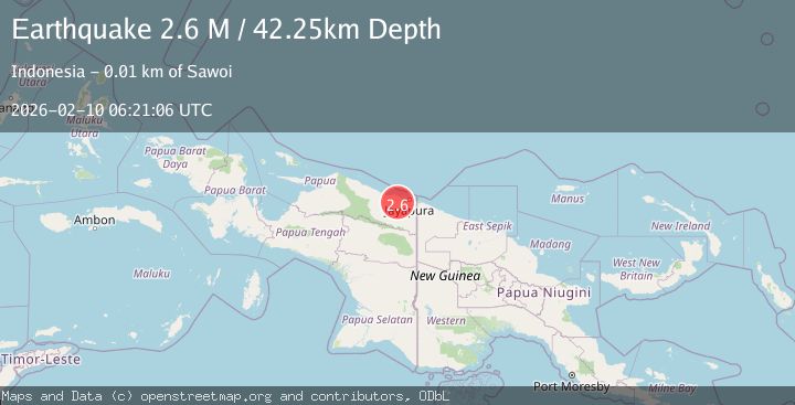
A 2.6 magnitude earthquake struck on Near North Coast of West Papua, at Tue, 10 Feb 2026 06:21:06 GMT. Depth: 42.254131km. Reviewed by BMKG seismologists, this minor quake occurred at a magnitude type of M.
Magnitude
2.6
M
Source
BMKG
Intensity
-
Agency Reports
1 Sources| Source | Magnitude | Depth | Time |
|---|---|---|---|
| BMKGPrimary | 2.6 | 42 km | 8 hours ago |
Earthquake Details
ManualEvent IDbmg2026cvos
Tsunami PotentialNo
Magnitude TypeM
Nearest Places
- Yansip2.0 km
- Kampung Jagrang2.5 km
- Kampung Pupehabu2.9 km
- Kelurahan Hatib3.6 km
- Yoan3.8 km
Comments
Join the discussion about this event.
Latest Earthquakes
1.4Mag
13 km ESE of Olancha, CA
Time8 hours ago
Depth7.28 km
SourceUSGS (Automatic)
1.1Mag
WESTERN TURKEY
Time8 hours ago
Depth7.20 km
SourceAFAD (Automatic)
2.0Mag
Southern Sumatra, Indonesia
Time8 hours ago
Depth2.61 km
SourceBMKG
2.1Mag
Southern Sumatra, Indonesia
Time8 hours ago
Depth14.65 km
SourceBMKG
1.6Mag
EASTERN TURKEY
Time8 hours ago
Depth7.10 km
SourceAFAD (Automatic)
Nearby Earthquakes
2.2Mag
Near North Coast of West Papua
Time1 week ago
Depth10.00 km
SourceBMKG (Automatic)
2.0Mag
Near North Coast of West Papua
Time4 days ago
Depth22.07 km
SourceBMKG (Automatic)
2.1Mag
Near North Coast of West Papua
Time2 weeks ago
Depth10.56 km
SourceBMKG (Automatic)
2.9Mag
Near North Coast of West Papua
Time1 day ago
Depth26.24 km
SourceBMKG (Automatic)
2.5Mag
Near North Coast of West Papua
Time1 week ago
Depth11.29 km
SourceBMKG (Automatic)