Earthquake Northern Sumatra, Indonesia
Thu, 12 Feb 2026 03:23:41 GMT
Time1 week ago
Location
1.8549, 99.2100
Depth
171.1 KM
Event Summary
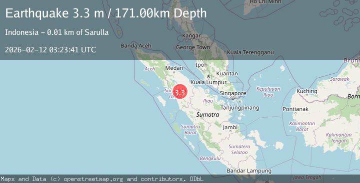
A 3.3 magnitude earthquake struck on Northern Sumatra, Indonesia, at Thu, 12 Feb 2026 03:23:41 GMT. Depth: 171.142654km. Reviewed by BMKG seismologists, this minor quake occurred at a magnitude type of M.
Magnitude
3.3
M
Source
BMKG
Intensity
-
Agency Reports
1 Sources| Source | Magnitude | Depth | Time |
|---|---|---|---|
| BMKGPrimary | 3.3 | 171 km | 1 week ago |
Earthquake Details
ManualEvent IDbmg2026cyzw
Tsunami PotentialNo
Magnitude TypeM
Nearest Places
- Dolok Adian na Tolbak1.2 km
- Parlabian1.8 km
- Dolok Muara Tolang2.0 km
- Muaratolang2.8 km
- Aek Muara Tolang3.1 km
Comments
Join the discussion about this event.
Latest Earthquakes
1.3Mag
Southeastern Alaska
Time7 hours ago
Depth1.71 km
SourceVYT (Automatic)
2.9Mag
Central Alaska
Time7 hours ago
Depth0.00 km
SourceVYT (Automatic)
1.9Mag
Kenai Peninsula, Alaska
Time7 hours ago
Depth67.87 km
SourceVYT (Automatic)
1.2Mag
Southeastern Alaska
Time7 hours ago
Depth35.28 km
SourceVYT (Automatic)
3.3Mag
off the coast of Libertador O'Higgins, Chile
Time7 hours ago
Depth10.00 km
SourceVYT (Automatic)
Nearby Earthquakes
5.2Mag
NORTHERN SUMATRA, INDONESIA
Time20 years ago
Depth5.00 km
SourceEMSC (Automatic)
4.0Mag
NORTHERN SUMATRA, INDONESIA
Time7 years ago
Depth145.00 km
SourceDJA (Automatic)
5.5Mag
NORTHERN SUMATRA, INDONESIA
Time14 years ago
Depth20.00 km
SourceEMSC (Automatic)
3.0Mag
NORTHERN SUMATRA, INDONESIA
Time2 years ago
Depth10.00 km
SourceDJA (Automatic)
5.6Mag
NORTHERN SUMATRA, INDONESIA
Time14 years ago
Depth10.00 km
SourceEMSC (Automatic)