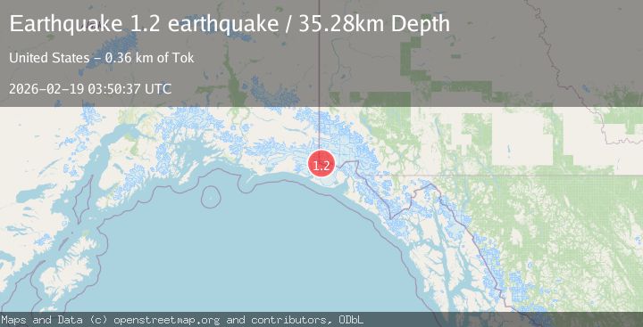
Earthquake Southeastern Alaska
Thu, 19 Feb 2026 03:50:37 GMT
Time2 hours ago
Location
60.2846, -140.8698
Depth
35.3 KM
Event Summary
A 1.2 magnitude earthquake struck on Southeastern Alaska, at Thu, 19 Feb 2026 03:50:37 GMT. Depth: 35.2783203125km. Reviewed by VYT seismologists, this minor quake occurred at a magnitude type of earthquake.
Magnitude
1.2
earthquake
Source
VYT
Intensity
-
Agency Reports
1 Sources| Source | Magnitude | Depth | Time |
|---|---|---|---|
| VYTPrimary | 1.2 | 35 km | 2 hours ago |
Earthquake Details
AutomaticEvent IDvyt_1jjhphi5zed07
Tsunami PotentialNo
Magnitude Typeearthquake
Nearest Places
- Mount Saint Elias3.4 km
- Mount Newton3.5 km
- Russell Col4.0 km
- Boundary Peak 1855.9 km
- Haydon Peak7.0 km
Comments
Join the discussion about this event.
Latest Earthquakes
1.5Mag
Southern California
Time51 minutes ago
Depth13.67 km
SourceVYT (Automatic)
1.5Mag
Southern Alaska
Time52 minutes ago
Depth0.00 km
SourceVYT (Automatic)
3.7Mag
Tarapaca, Chile
Time56 minutes ago
Depth0.00 km
SourceVYT (Automatic)
2.6Mag
Halmahera, Indonesia
Time57 minutes ago
Depth90.20 km
SourceBMKG
0.6Mag
Southern Alaska
Time59 minutes ago
Depth0.00 km
SourceVYT (Automatic)
Nearby Earthquakes
1.9Mag
104 km NW of Yakutat, Alaska
Time1 week ago
Depth5.00 km
SourceUSGS (Automatic)
1.6Mag
102 km NW of Yakutat, Alaska
Time3 weeks ago
Depth15.10 km
SourceUSGS (Automatic)
1.4Mag
102 km NW of Yakutat, Alaska
Time1 week ago
Depth18.30 km
SourceUSGS (Automatic)
1.6Mag
98 km NW of Yakutat, Alaska
Time1 week ago
Depth23.10 km
SourceUSGS (Automatic)
1.6Mag
106 km NW of Yakutat, Alaska
Time5 days ago
Depth14.40 km
SourceUSGS (Automatic)