Earthquake Southeastern Alaska
Thu, 19 Feb 2026 04:01:37 GMT
Time1 hour ago
Location
60.1936, -141.2306
Depth
1.7 KM
Event Summary
A 1.3 magnitude earthquake struck on Southeastern Alaska, at Thu, 19 Feb 2026 04:01:37 GMT. Depth: 1.708984375km. Reviewed by VYT seismologists, this minor quake occurred at a magnitude type of earthquake.
Magnitude
1.3
earthquake
Source
VYT
Intensity
-
Agency Reports
2 Sources| Source | Magnitude | Depth | Time |
|---|---|---|---|
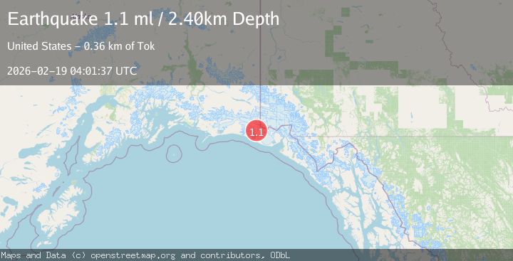
| VYTPrimary | 1.3 | 2 km | 1 hour ago |
| USGS | 1.1 | 2 km | 1 hour ago |
Earthquake Details
AutomaticEvent IDvyt_vm0f0bucj5oe
Tsunami PotentialNo
Magnitude Typeearthquake
Nearest Places
- Coal Glacier2.0 km
- Daisy Glacier3.2 km
- Tyndall Glacier4.8 km
- Karr Hills6.2 km
- Hoof Hill6.8 km
Comments
Join the discussion about this event.
Latest Earthquakes
1.7Mag
Kenai Peninsula, Alaska
Time56 minutes ago
Depth12.33 km
SourceVYT (Automatic)
2.2Mag
Halmahera, Indonesia
Time57 minutes ago
Depth6.01 km
SourceBMKG
3.3Mag
Channel Islands region, California
Time58 minutes ago
Depth10.00 km
SourceVYT (Automatic)
3.0Mag
Ceram Sea
Time1 hour ago
Depth13.47 km
SourceBMKG
3.0Mag
offshore Coquimbo, Chile
Time1 hour ago
Depth75.56 km
SourceVYT (Automatic)
Nearby Earthquakes
3.0Mag
110 km NW of Yakutat, Alaska
Time3 weeks ago
Depth16.90 km
SourceUSGS (Automatic)
3.0Mag
SOUTHERN ALASKA
Time2 years ago
Depth10.00 km
SourceNEIC (Automatic)
5.0Mag
SOUTHERN ALASKA
Time3 years ago
Depth20.00 km
SourceEMSC (Automatic)
1.0Mag
Southeastern Alaska
Time9 hours ago
Depth0.00 km
SourceVYT (Automatic)
1.3Mag
Southeastern Alaska
Time2 days ago
Depth12.70 km
SourceVYT (Automatic)