Earthquake Northern Sumatra, Indonesia
Thu, 12 Feb 2026 05:34:38 GMT
Time1 week ago
Location
4.6901, 95.0999
Depth
26.8 KM
Event Summary
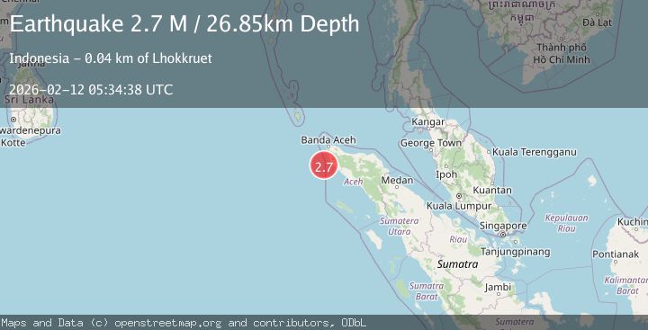
A 2.7 magnitude earthquake struck on Northern Sumatra, Indonesia, at Thu, 12 Feb 2026 05:34:38 GMT. Depth: 26.849304km. Reviewed by BMKG seismologists, this minor quake occurred at a magnitude type of M.
Magnitude
2.7
M
Source
BMKG
Intensity
-
Agency Reports
1 Sources| Source | Magnitude | Depth | Time |
|---|---|---|---|
| BMKGPrimary | 2.7 | 27 km | 1 week ago |
Earthquake Details
ManualEvent IDbmg2026czee
Tsunami PotentialNo
Magnitude TypeM
Nearest Places
- Ujung Monek35.8 km
- Ujung Lipeh36.0 km
- Takmelik36.0 km
- Alue Udueng36.0 km
- Alue Takmelik36.1 km
Comments
Join the discussion about this event.
Latest Earthquakes
0.7Mag
8 km NW of The Geysers, CA
Time5 minutes ago
Depth1.59 km
SourceUSGS (Automatic)
1.2Mag
Southern Alaska
Time6 minutes ago
Depth16.72 km
SourceVYT (Automatic)
1.6Mag
49 km W of Mentone, Texas
Time6 minutes ago
Depth4.59 km
SourceUSGS (Automatic)
3.1Mag
northern Colombia
Time8 minutes ago
Depth219.97 km
SourceVYT (Automatic)
2.2Mag
Sumbawa Region, Indonesia
Time10 minutes ago
Depth15.54 km
SourceBMKG
Nearby Earthquakes
5.5Mag
NORTHERN SUMATRA, INDONESIA
Time3 years ago
Depth45.00 km
SourceEMSC (Automatic)
5.1Mag
NORTHERN SUMATRA, INDONESIA
Time16 years ago
Depth50.00 km
SourceEMSC (Automatic)
5.1Mag
NORTHERN SUMATRA, INDONESIA
Time13 years ago
Depth46.00 km
SourceEMSC (Automatic)
5.0Mag
NORTHERN SUMATRA, INDONESIA
Time3 years ago
Depth60.00 km
SourceEMSC (Automatic)
5.6Mag
NORTHERN SUMATRA, INDONESIA
Time20 years ago
Depth30.00 km
SourceEMSC (Automatic)