Earthquake Southern Alaska
Thu, 19 Feb 2026 07:24:40 GMT
Time1 hour ago
Location
61.2748, -148.0235
Depth
16.7 KM
Event Summary
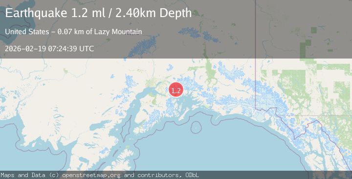
A 1.2 magnitude earthquake struck on Southern Alaska, at Thu, 19 Feb 2026 07:24:40 GMT. Depth: 16.7236328125km. Reviewed by VYT seismologists, this minor quake occurred at a magnitude type of earthquake.
Magnitude
1.2
earthquake
Source
VYT
Intensity
-
Agency Reports
2 Sources| Source | Magnitude | Depth | Time |
|---|---|---|---|
| VYTPrimary | 1.0 | 17 km | 1 hour ago |
| USGS | 1.2 | 2 km | 1 hour ago |
Earthquake Details
AutomaticEvent IDvyt_3d2asyjr9sqof
Tsunami PotentialNo
Magnitude Typeearthquake
Nearest Places
- Mount Goode6.1 km
- Barry Glacier6.3 km
- Bryn Mawr Glacier8.8 km
- Vassar Glacier9.5 km
- Wellesley Glacier9.7 km
Comments
Join the discussion about this event.
Latest Earthquakes
2.6Mag
Sumba Region, Indonesia
Time25 minutes ago
Depth13.08 km
SourceBMKG
2.1Mag
Tarapaca, Chile
Time26 minutes ago
Depth115.11 km
SourceVYT (Automatic)
1.7Mag
35 km SSE of King Salmon, Alaska
Time27 minutes ago
Depth9.10 km
SourceUSGS (Automatic)
2.1Mag
Sweden
Time31 minutes ago
Depth0.00 km
SourceVYT (Automatic)
2.2Mag
Minahassa Peninsula, Sulawesi
Time31 minutes ago
Depth24.60 km
SourceBMKG
Nearby Earthquakes
1.2Mag
Southern Alaska
Time1 week ago
Depth32.10 km
SourceVYT (Automatic)
1.6Mag
Southern Alaska
Time4 days ago
Depth0.61 km
SourceVYT (Automatic)
1.5Mag
Southern Alaska
Time5 days ago
Depth0.00 km
SourceVYT (Automatic)
1.4Mag
Southern Alaska
Time6 days ago
Depth0.61 km
SourceVYT (Automatic)
1.4Mag
Southern Alaska
Time2 days ago
Depth12.21 km
SourceVYT (Automatic)