Earthquake Minahassa Peninsula, Sulawesi
Fri, 13 Feb 2026 01:32:45 GMT
Time1 week ago
Location
0.0000, 119.6698
Depth
5.0 KM
Event Summary
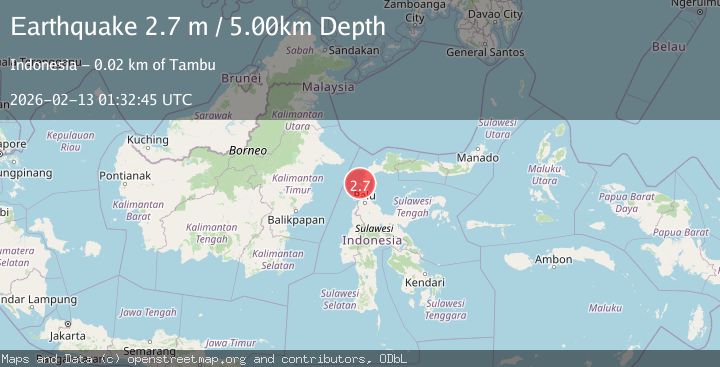
A 2.7 magnitude earthquake struck on Minahassa Peninsula, Sulawesi, at Fri, 13 Feb 2026 01:32:45 GMT. Depth: 5km. Reviewed by BMKG seismologists, this minor quake occurred at a magnitude type of M.
Magnitude
2.7
M
Source
BMKG
Intensity
-
Agency Reports
1 Sources| Source | Magnitude | Depth | Time |
|---|---|---|---|
| BMKGPrimary | 2.7 | 5 km | 1 week ago |
Earthquake Details
ManualEvent IDbmg2026darr
Tsunami PotentialNo
Magnitude TypeM
Nearest Places
- Teluk Labuankulambu0.1 km
- Bulu Ulok1.2 km
- Teluk Balaesang1.4 km
- Silenggi1.8 km
- Tanjung Biro2.1 km
Comments
Join the discussion about this event.
Latest Earthquakes
2.0Mag
Southern Alaska
Time5 minutes ago
Depth26.61 km
SourceVYT (Automatic)
2.8Mag
Central Alaska
Time10 minutes ago
Depth292.36 km
SourceVYT (Automatic)
1.0Mag
12 km ESE of Anza, CA
Time15 minutes ago
Depth18.49 km
SourceUSGS (Automatic)
3.2Mag
Molucca Sea
Time16 minutes ago
Depth0.12 km
SourceVYT (Automatic)
1.0Mag
33 km SE of Minto, Alaska
Time18 minutes ago
Depth8.60 km
SourceUSGS (Automatic)
Nearby Earthquakes
2.4Mag
Minahassa Peninsula, Sulawesi
Time6 days ago
Depth5.00 km
SourceBMKG
2.2Mag
Minahassa Peninsula, Sulawesi
Time6 days ago
Depth5.97 km
SourceBMKG
5.1Mag
MINAHASA, SULAWESI, INDONESIA
Time7 years ago
Depth10.00 km
SourceEMSC (Automatic)
3.0Mag
MINAHASA, SULAWESI, INDONESIA
Time3 years ago
Depth17.00 km
SourceDJA (Automatic)
5.7Mag
MINAHASA, SULAWESI, INDONESIA
Time7 years ago
Depth10.00 km
SourceEMSC (Automatic)