Earthquake Minahassa Peninsula, Sulawesi
Fri, 13 Feb 2026 15:41:48 GMT
Time5 days ago
Location
-0.6404, 122.0108
Depth
10.0 KM
Event Summary
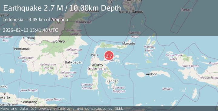
A 2.7 magnitude earthquake struck on Minahassa Peninsula, Sulawesi, at Fri, 13 Feb 2026 15:41:48 GMT. Depth: 10km. Reviewed by BMKG seismologists, this minor quake occurred at a magnitude type of M.
Magnitude
2.7
M
Source
BMKG
Intensity
-
Agency Reports
1 Sources| Source | Magnitude | Depth | Time |
|---|---|---|---|
| BMKGPrimary | 2.7 | 10 km | 5 days ago |
Earthquake Details
ManualEvent IDbmg2026dbts
Tsunami PotentialNo
Magnitude TypeM
Nearest Places
- Tanjung Palala17.1 km
- Tanjung Lulungo17.6 km
- Tanjung Batutiga17.9 km
- Katambua18.1 km
- Pamose18.8 km
Comments
Join the discussion about this event.
Latest Earthquakes
2.8Mag
Sunda Strait, Indonesia
Time10 minutes ago
Depth3.61 km
SourceBMKG
3.6Mag
south of Alaska
Time11 minutes ago
Depth10.00 km
SourceVYT (Automatic)
1.2Mag
Central Alaska
Time13 minutes ago
Depth68.97 km
SourceVYT (Automatic)
1.2Mag
Washington
Time15 minutes ago
Depth0.00 km
SourceVYT (Automatic)
0.8Mag
10 km WNW of The Geysers, CA
Time21 minutes ago
Depth1.96 km
SourceUSGS (Automatic)
Nearby Earthquakes
5.6Mag
SULAWESI, INDONESIA
Time14 years ago
Depth10.00 km
SourceEMSC (Automatic)
5.7Mag
SULAWESI, INDONESIA
Time4 years ago
Depth10.00 km
SourceEMSC (Automatic)
3.0Mag
SULAWESI, INDONESIA
Time2 years ago
Depth10.00 km
SourceDJA (Automatic)
6.2Mag
SULAWESI, INDONESIA
Time4 years ago
Depth10.00 km
SourceEMSC (Automatic)
3.0Mag
SULAWESI, INDONESIA
Time1 year ago
Depth10.00 km
SourceBMKG (Automatic)