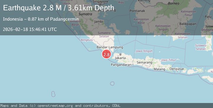
Earthquake Sunda Strait, Indonesia
Wed, 18 Feb 2026 15:46:41 GMT
Time4 hours ago
Location
-6.1252, 104.7977
Depth
3.6 KM
Event Summary
A 2.8 magnitude earthquake struck on Sunda Strait, Indonesia, at Wed, 18 Feb 2026 15:46:41 GMT. Depth: 3.608115km. Reviewed by BMKG seismologists, this minor quake occurred at a magnitude type of M.
Magnitude
2.8
M
Source
BMKG
Intensity
-
Agency Reports
1 Sources| Source | Magnitude | Depth | Time |
|---|---|---|---|
| BMKGPrimary | 2.8 | 4 km | 4 hours ago |
Earthquake Details
ManualEvent IDbmg2026dkxj
Tsunami PotentialNo
Magnitude TypeM
Nearest Places
- Cukuredak Seamount15.9 km
- Tanjung Cina22.9 km
- Danau Menjukut25.4 km
- Wai Belambang25.9 km
- Desa Tampang27.4 km
Comments
Join the discussion about this event.
Latest Earthquakes
3.6Mag
south of Alaska
Time4 hours ago
Depth10.00 km
SourceVYT (Automatic)
1.2Mag
Central Alaska
Time4 hours ago
Depth68.97 km
SourceVYT (Automatic)
1.2Mag
Washington
Time4 hours ago
Depth0.00 km
SourceVYT (Automatic)
0.8Mag
10 km WNW of The Geysers, CA
Time4 hours ago
Depth1.96 km
SourceUSGS (Automatic)
2.4Mag
Sumbawa region, Indonesia
Time4 hours ago
Depth111.45 km
SourceVYT (Automatic)
Nearby Earthquakes
5.3Mag
SUNDA STRAIT, INDONESIA
Time4 years ago
Depth54.00 km
SourceEMSC (Automatic)
5.0Mag
SUNDA STRAIT, INDONESIA
Time20 years ago
Depth40.00 km
SourceEMSC (Automatic)
3.0Mag
SUNDA STRAIT, INDONESIA
Time4 months ago
Depth10.00 km
SourceBMKG (Automatic)
5.4Mag
SUNDA STRAIT, INDONESIA
Time20 years ago
Depth40.00 km
SourceEMSC (Automatic)
5.0Mag
SUNDA STRAIT, INDONESIA
Time5 years ago
Depth68.00 km
SourceEMSC (Automatic)