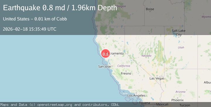
Earthquake 10 km WNW of The Geysers, CA
Wed, 18 Feb 2026 15:35:49 GMT
Time3 hours ago
Location
38.8262, -122.8507
Depth
2.0 KM
Event Summary
A 0.8 magnitude earthquake struck on 10 km WNW of The Geysers, CA, at Wed, 18 Feb 2026 15:35:49 GMT. Depth: 1.96000003814697km. Reviewed by USGS seismologists, this minor quake occurred at a magnitude type of md.
Magnitude
0.8
md
Source
USGS
Intensity
-
Agency Reports
1 Sources| Source | Magnitude | Depth | Time |
|---|---|---|---|
| USGSPrimary | 0.8 | 2 km | 3 hours ago |
Earthquake Details
AutomaticEvent IDusgs_nc75315572
Tsunami PotentialNo
Magnitude Typemd
Nearest Places
- Buckeye Mine0.7 km
- Hummingbird Creek1.6 km
- Truitt Creek1.6 km
- Wildhorse Creek1.6 km
- Black Oaks1.6 km
Comments
Join the discussion about this event.
Latest Earthquakes
1.7Mag
Kenai Peninsula, Alaska
Time2 hours ago
Depth28.44 km
SourceVYT (Automatic)
1.7Mag
Tarapaca, Chile
Time2 hours ago
Depth6.47 km
SourceVYT (Automatic)
1.9Mag
Central Alaska
Time2 hours ago
Depth81.18 km
SourceVYT (Automatic)
1.2Mag
21 km ENE of Little Lake, CA
Time2 hours ago
Depth0.90 km
SourceUSGS (Automatic)
2.6Mag
ANTOFAGASTA, CHILE
Time2 hours ago
Depth101.50 km
SourceCSN (Automatic)
Nearby Earthquakes
2.2Mag
10 km WNW of The Geysers, CA
Time3 weeks ago
Depth1.35 km
SourceUSGS (Automatic)
1.4Mag
10 km NW of The Geysers, CA
Time2 weeks ago
Depth2.23 km
SourceUSGS (Automatic)
0.6Mag
10 km NW of The Geysers, CA
Time3 days ago
Depth4.70 km
SourceUSGS (Automatic)
1.5Mag
10 km NW of The Geysers, CA
Time2 weeks ago
Depth2.45 km
SourceUSGS (Automatic)
1.5Mag
10 km WNW of The Geysers, CA
Time3 weeks ago
Depth2.37 km
SourceUSGS (Automatic)