Earthquake Near North Coast of West Papua
Fri, 13 Feb 2026 18:28:49 GMT
Time5 days ago
Location
-2.1758, 139.9454
Depth
18.5 KM
Event Summary
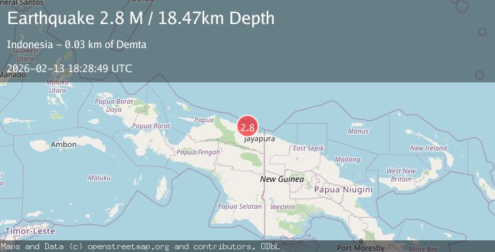
A 2.8 magnitude earthquake struck on Near North Coast of West Papua, at Fri, 13 Feb 2026 18:28:49 GMT. Depth: 18.473263km. Reviewed by BMKG seismologists, this minor quake occurred at a magnitude type of M.
Magnitude
2.8
M
Source
BMKG
Intensity
-
Agency Reports
1 Sources| Source | Magnitude | Depth | Time |
|---|---|---|---|
| BMKGPrimary | 2.8 | 18 km | 5 days ago |
Earthquake Details
ManualEvent IDbmg2026dbzf
Tsunami PotentialNo
Magnitude TypeM
Nearest Places
- Teluk Walckenaer19.6 km
- Sungai Mokalo21.3 km
- Sungai Sermo21.6 km
- Tarfia22.0 km
- Moaif22.6 km
Comments
Join the discussion about this event.
Latest Earthquakes
1.9Mag
western Texas
Time37 minutes ago
Depth0.24 km
SourceVYT (Automatic)
2.2Mag
western Texas
Time40 minutes ago
Depth0.24 km
SourceVYT (Automatic)
2.2Mag
Valparaiso, Chile
Time41 minutes ago
Depth22.83 km
SourceVYT (Automatic)
4.5Mag
Central Alaska
Time42 minutes ago
Depth7.81 km
SourceVYT (Automatic)
1.9Mag
1 km SSW of Pāhala, Hawaii
Time46 minutes ago
Depth28.47 km
SourceUSGS (Automatic)
Nearby Earthquakes
3.0Mag
NEAR N COAST OF PAPUA, INDONESIA
Time2 years ago
Depth10.00 km
SourceDJA (Automatic)
3.0Mag
NEAR N COAST OF PAPUA, INDONESIA
Time1 month ago
Depth15.00 km
SourceBMKG (Automatic)
2.2Mag
Near North Coast of West Papua
Time3 weeks ago
Depth10.00 km
SourceBMKG (Automatic)
4.0Mag
NEAR N COAST OF PAPUA, INDONESIA
Time6 years ago
Depth10.00 km
SourceDJA (Automatic)
2.5Mag
NEAR N COAST OF PAPUA, INDONESIA
Time1 month ago
Depth10.00 km
SourceBMKG (Automatic)