Earthquake Near North Coast of West Papua
Fri, 23 Jan 2026 07:29:28 GMT
Time4 days ago
Location
-2.1544, 140.0183
Depth
10.0 KM
Event Summary
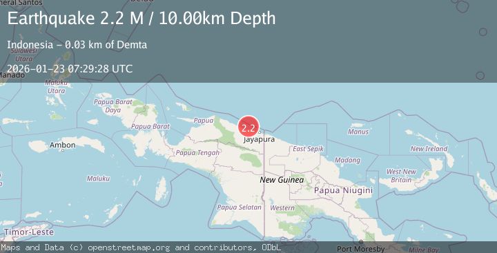
A 2.2 magnitude earthquake struck on Near North Coast of West Papua, at Fri, 23 Jan 2026 07:29:28 GMT. Depth: 10km. Reviewed by BMKG seismologists, this minor quake occurred at a magnitude type of M.
Magnitude
2.2
M
Source
BMKG
Intensity
-
Agency Reports
1 Sources| Source | Magnitude | Depth | Time |
|---|---|---|---|
| BMKGPrimary | 2.2 | 10 km | 4 days ago |
Earthquake Details
AutomaticEvent IDbmg2026botx
Tsunami PotentialNo
Magnitude TypeM
Nearest Places
- Tarfia18.6 km
- Tanjung Kamadara21.4 km
- Moaif22.0 km
- Wai Humbei22.9 km
- Sungai Grime23.0 km
Comments
Join the discussion about this event.
Latest Earthquakes
1.9Mag
97 km S of Kokhanok, Alaska
Time2 minutes ago
Depth5.00 km
SourceUSGS (Automatic)
1.5Mag
27 km WNW of Ludlow, CA
Time6 minutes ago
Depth2.32 km
SourceUSGS (Automatic)
1.3Mag
52 km S of Glacier View, Alaska
Time10 minutes ago
Depth5.00 km
SourceUSGS (Automatic)
0.9Mag
4 km WNW of The Geysers, CA
Time23 minutes ago
Depth0.76 km
SourceUSGS (Automatic)
2.8Mag
Minahassa Peninsula, Sulawesi
Time26 minutes ago
Depth10.00 km
SourceBMKG (Automatic)
Nearby Earthquakes
2.4Mag
Near North Coast of West Papua
Time5 days ago
Depth18.12 km
SourceBMKG (Automatic)
2.6Mag
Near North Coast of West Papua
Time6 days ago
Depth10.00 km
SourceBMKG (Automatic)
2.8Mag
Near North Coast of West Papua
Time2 days ago
Depth12.25 km
SourceBMKG (Automatic)
2.1Mag
Near North Coast of West Papua
Time2 days ago
Depth10.56 km
SourceBMKG (Automatic)
2.1Mag
Near North Coast of West Papua
Time1 day ago
Depth10.00 km
SourceBMKG (Automatic)