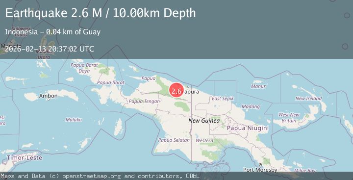
Earthquake Near North Coast of West Papua
Fri, 13 Feb 2026 20:36:24 GMT
Time4 days ago
Location
-2.7812, 139.7460
Depth
10.0 KM
Event Summary
A 2.6 magnitude earthquake struck on Near North Coast of West Papua, at Fri, 13 Feb 2026 20:36:24 GMT. Depth: 10km. Reviewed by BMKG seismologists, this minor quake occurred at a magnitude type of M.
Magnitude
2.6
M
Source
BMKG
Intensity
-
Agency Reports
1 Sources| Source | Magnitude | Depth | Time |
|---|---|---|---|
| BMKGPrimary | 2.6 | 10 km | 4 days ago |
Earthquake Details
ManualEvent IDbmg2026dcdk
Tsunami PotentialNo
Magnitude TypeM
Nearest Places
- Pegunungan Bonggo4.3 km
- Dore7.0 km
- Ojar9.2 km
- Guai9.8 km
- Kampung Santosa10.4 km
Comments
Join the discussion about this event.
Latest Earthquakes
2.8Mag
Sunda Strait, Indonesia
Time6 minutes ago
Depth3.61 km
SourceBMKG
3.6Mag
south of Alaska
Time6 minutes ago
Depth10.00 km
SourceVYT (Automatic)
1.2Mag
Central Alaska
Time8 minutes ago
Depth68.97 km
SourceVYT (Automatic)
1.2Mag
Washington
Time10 minutes ago
Depth0.00 km
SourceVYT (Automatic)
0.8Mag
10 km WNW of The Geysers, CA
Time17 minutes ago
Depth1.96 km
SourceUSGS (Automatic)
Nearby Earthquakes
2.2Mag
Near North Coast of West Papua
Time1 week ago
Depth95.13 km
SourceBMKG (Automatic)
3.0Mag
NEAR N COAST OF PAPUA, INDONESIA
Time6 years ago
Depth46.00 km
SourceDJA (Automatic)
3.0Mag
NEAR N COAST OF PAPUA, INDONESIA
Time5 years ago
Depth69.00 km
SourceDJA (Automatic)
3.0Mag
NEAR N COAST OF PAPUA, INDONESIA
Time9 months ago
Depth58.00 km
SourceBMKG (Automatic)
3.0Mag
NEAR N COAST OF PAPUA, INDONESIA
Time2 years ago
Depth61.00 km
SourceDJA (Automatic)