Earthquake West Papua Region, Indonesia
Sat, 14 Feb 2026 11:54:39 GMT
Time3 days ago
Location
-0.7491, 134.2178
Depth
16.8 KM
Event Summary
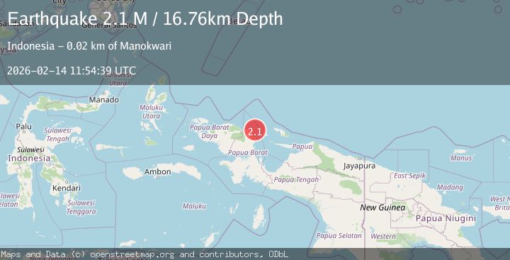
A 2.1 magnitude earthquake struck on West Papua Region, Indonesia, at Sat, 14 Feb 2026 11:54:39 GMT. Depth: 16.758909km. Reviewed by BMKG seismologists, this minor quake occurred at a magnitude type of M.
Magnitude
2.1
M
Source
BMKG
Intensity
-
Agency Reports
1 Sources| Source | Magnitude | Depth | Time |
|---|---|---|---|
| BMKGPrimary | 2.1 | 17 km | 3 days ago |
Earthquake Details
ManualEvent IDbmg2026ddhs
Tsunami PotentialNo
Magnitude TypeM
Nearest Places
- Kampung Bakaro16.1 km
- Kampung Aipiri16.4 km
- Tanjung Memori16.4 km
- Kampung Susweni17.0 km
- Insyurifuri17.3 km
Comments
Join the discussion about this event.
Latest Earthquakes
2.6Mag
western Texas
Time23 hours ago
Depth0.00 km
SourceVYT (Automatic)
1.7Mag
50 km W of Mentone, Texas
Time23 hours ago
Depth5.67 km
SourceUSGS (Automatic)
1.4Mag
EASTERN TURKEY
Time1 day ago
Depth7.00 km
SourceAFAD (Automatic)
1.6Mag
Southern Alaska
Time1 day ago
Depth7.93 km
SourceVYT (Automatic)
3.2Mag
OFF E. COAST OF N. ISLAND, N.Z.
Time1 day ago
Depth33.00 km
SourceGNS (Automatic)
Nearby Earthquakes
3.0Mag
NEAR N COAST OF PAPUA, INDONESIA
Time1 year ago
Depth10.00 km
SourceBMKG (Automatic)
6.0Mag
NEAR N COAST OF PAPUA, INDONESIA
Time16 years ago
Depth30.00 km
SourceEMSC (Automatic)
3.0Mag
NEAR N COAST OF PAPUA, INDONESIA
Time8 months ago
Depth10.00 km
SourceBMKG (Automatic)
2.0Mag
West Papua Region, Indonesia
Time2 weeks ago
Depth10.00 km
SourceBMKG (Automatic)
4.0Mag
NEAR N COAST OF PAPUA, INDONESIA
Time5 years ago
Depth10.00 km
SourceDJA (Automatic)