Earthquake West Papua Region, Indonesia
Sun, 01 Feb 2026 02:05:30 GMT
Time2 days ago
Location
-0.7221, 134.0981
Depth
10.0 KM
Event Summary
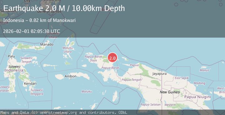
A 2.0 magnitude earthquake struck on West Papua Region, Indonesia, at Sun, 01 Feb 2026 02:05:30 GMT. Depth: 10km. Reviewed by BMKG seismologists, this minor quake occurred at a magnitude type of M.
Magnitude
2.0
M
Source
BMKG
Intensity
-
Agency Reports
1 Sources| Source | Magnitude | Depth | Time |
|---|---|---|---|
| BMKGPrimary | 2.0 | 10 km | 2 days ago |
Earthquake Details
AutomaticEvent IDbmg2026ceut
Tsunami PotentialNo
Magnitude TypeM
Nearest Places
- Aipiri Canyons8.3 km
- Kampung Inoduas12.3 km
- Amban12.8 km
- Kampung Pami13.1 km
- Nuni13.3 km
Comments
Join the discussion about this event.
Latest Earthquakes
4.2Mag
Sumbawa Region, Indonesia
Time10 hours ago
Depth10.00 km
SourceBMKG (Automatic)
0.7Mag
5 km NNW of The Geysers, CA
Time10 hours ago
Depth1.68 km
SourceUSGS (Automatic)
2.6Mag
Flores Region, Indonesia
Time10 hours ago
Depth8.34 km
SourceBMKG (Automatic)
2.5Mag
Northern Sumatra, Indonesia
Time10 hours ago
Depth198.72 km
SourceBMKG (Automatic)
3.0Mag
COOK STRAIT, NEW ZEALAND
Time10 hours ago
Depth99.80 km
SourceGNS (Automatic)
Nearby Earthquakes
3.9Mag
West Papua Region, Indonesia
Time6 days ago
Depth18.14 km
SourceBMKG (Automatic)
3.2Mag
West Papua Region, Indonesia
Time1 week ago
Depth21.74 km
SourceBMKG (Automatic)
2.4Mag
West Papua Region, Indonesia
Time1 week ago
Depth10.00 km
SourceBMKG (Automatic)
2.2Mag
West Papua Region, Indonesia
Time5 days ago
Depth7.51 km
SourceBMKG (Automatic)
3.4Mag
West Papua Region, Indonesia
Time6 days ago
Depth10.00 km
SourceBMKG (Automatic)