Earthquake 50 km W of Mentone, Texas
Tue, 17 Feb 2026 10:45:54 GMT
Time1 day ago
Location
31.6670, -104.1250
Depth
5.7 KM
Event Summary
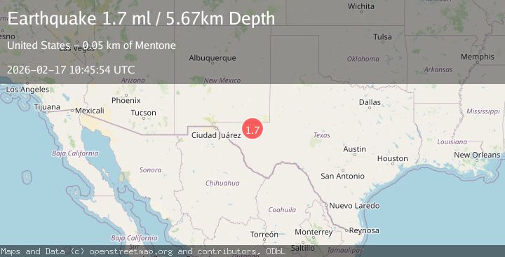
A 1.7 magnitude earthquake struck on 50 km W of Mentone, Texas, at Tue, 17 Feb 2026 10:45:54 GMT. Depth: 5.6663km. Reviewed by USGS seismologists, this minor quake occurred at a magnitude type of ml.
Magnitude
1.7
ml
Source
USGS
Intensity
-
Agency Reports
1 Sources| Source | Magnitude | Depth | Time |
|---|---|---|---|
| USGSPrimary | 1.7 | 6 km | 1 day ago |
Earthquake Details
AutomaticEvent IDusgs_tx2026djcnzc
Tsunami PotentialNo
Magnitude Typeml
Nearest Places
- Old Michigan Mine3.2 km
- Monument Draw3.5 km
- Kohen Windmill5.3 km
- Salt Spring5.3 km
- Rustler Hills5.5 km
Comments
Join the discussion about this event.
Latest Earthquakes
4.6Mag
Banda Sea
Time23 hours ago
Depth170.41 km
SourceVYT (Automatic)
3.2Mag
NORTH ISLAND OF NEW ZEALAND
Time23 hours ago
Depth43.70 km
SourceGNS (Automatic)
2.6Mag
western Texas
Time23 hours ago
Depth0.00 km
SourceVYT (Automatic)
1.4Mag
EASTERN TURKEY
Time1 day ago
Depth7.00 km
SourceAFAD (Automatic)
4.1Mag
OFFSHORE GUERRERO, MEXICO
Time1 day ago
Depth9.80 km
SourceUNM (Automatic)
Nearby Earthquakes
1.7Mag
49 km W of Mentone, Texas
Time1 day ago
Depth4.51 km
SourceUSGS (Automatic)
3.8Mag
western Texas
Time1 day ago
Depth0.00 km
SourceVYT (Automatic)
1.8Mag
western Texas
Time1 day ago
Depth5.74 km
SourceVYT (Automatic)
2.7Mag
western Texas
Time1 day ago
Depth0.00 km
SourceVYT (Automatic)
1.8Mag
western Texas
Time1 day ago
Depth0.12 km
SourceVYT (Automatic)