Earthquake Near North Coast of West Papua
Sat, 14 Feb 2026 11:55:39 GMT
Time1 week ago
Location
-2.3503, 140.2568
Depth
10.0 KM
Event Summary
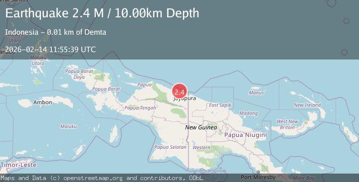
A 2.4 magnitude earthquake struck on Near North Coast of West Papua, at Sat, 14 Feb 2026 11:55:39 GMT. Depth: 10km. Reviewed by BMKG seismologists, this minor quake occurred at a magnitude type of M.
Magnitude
2.4
M
Source
BMKG
Intensity
-
Agency Reports
1 Sources| Source | Magnitude | Depth | Time |
|---|---|---|---|
| BMKGPrimary | 2.4 | 10 km | 1 week ago |
Earthquake Details
ManualEvent IDbmg2026ddht
Tsunami PotentialNo
Magnitude TypeM
Nearest Places
- 5.6 km
- 6.3 km
- 7.1 km
- 7.5 km
- 7.6 km
Comments
Join the discussion about this event.
Latest Earthquakes
3.1Mag
Antofagasta, Chile
Time1 minute ago
Depth103.03 km
SourceVYT (Automatic)
1.5Mag
Southern Alaska
Time2 minutes ago
Depth0.00 km
SourceVYT (Automatic)
1.4Mag
Alaska Peninsula
Time5 minutes ago
Depth16.97 km
SourceVYT (Automatic)
3.6Mag
NORTH ISLAND OF NEW ZEALAND
Time6 minutes ago
Depth211.50 km
SourceGNS (Automatic)
2.7Mag
NEAR COAST OF NICARAGUA
Time12 minutes ago
Depth34.00 km
SourceINET (Automatic)
Nearby Earthquakes
4.0Mag
NEAR N COAST OF PAPUA, INDONESIA
Time2 months ago
Depth9.00 km
SourceBMKG (Automatic)
2.6Mag
Near North Coast of West Papua
Time2 weeks ago
Depth10.00 km
SourceBMKG
4.0Mag
NEAR N COAST OF PAPUA, INDONESIA
Time4 years ago
Depth17.00 km
SourceNEIC (Automatic)
2.3Mag
Near North Coast of West Papua
Time1 day ago
Depth10.00 km
SourceBMKG
2.8Mag
NEAR N COAST OF PAPUA, INDONESIA
Time1 month ago
Depth15.00 km
SourceBMKG (Automatic)