Earthquake Near North Coast of West Papua
Wed, 11 Feb 2026 06:44:51 GMT
Time2 weeks ago
Location
-2.3247, 140.2461
Depth
10.0 KM
Event Summary
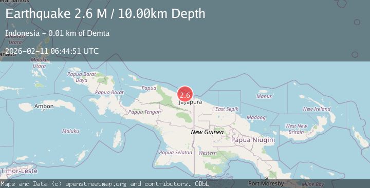
A 2.6 magnitude earthquake struck on Near North Coast of West Papua, at Wed, 11 Feb 2026 06:44:51 GMT. Depth: 10km. Reviewed by BMKG seismologists, this minor quake occurred at a magnitude type of M.
Magnitude
2.6
M
Source
BMKG
Intensity
-
Agency Reports
1 Sources| Source | Magnitude | Depth | Time |
|---|---|---|---|
| BMKGPrimary | 2.6 | 10 km | 2 weeks ago |
Earthquake Details
ManualEvent IDbmg2026cxkz
Tsunami PotentialNo
Magnitude TypeM
Nearest Places
- 5.8 km
- 8.4 km
- 8.9 km
- 9.0 km
- 9.3 km
Comments
Join the discussion about this event.
Latest Earthquakes
1.9Mag
13 km ENE of Pāhala, Hawaii
Time10 minutes ago
Depth28.71 km
SourceUSGS (Automatic)
1.4Mag
British Columbia, Canada
Time11 minutes ago
Depth0.00 km
SourceVYT (Automatic)
2.3Mag
Sumbawa Region, Indonesia
Time11 minutes ago
Depth23.77 km
SourceBMKG
1.9Mag
Tarapaca, Chile
Time12 minutes ago
Depth0.85 km
SourceVYT (Automatic)
3.2Mag
SAN JUAN, ARGENTINA
Time16 minutes ago
Depth129.00 km
SourceCSN (Automatic)
Nearby Earthquakes
2.3Mag
Near North Coast of West Papua
Time1 day ago
Depth10.00 km
SourceBMKG
2.8Mag
NEAR N COAST OF PAPUA, INDONESIA
Time1 month ago
Depth15.00 km
SourceBMKG (Automatic)
4.0Mag
NEAR N COAST OF PAPUA, INDONESIA
Time2 months ago
Depth9.00 km
SourceBMKG (Automatic)
2.4Mag
Near North Coast of West Papua
Time1 week ago
Depth10.00 km
SourceBMKG
3.1Mag
Near North Coast of West Papua
Time2 weeks ago
Depth10.00 km
SourceBMKG (Automatic)