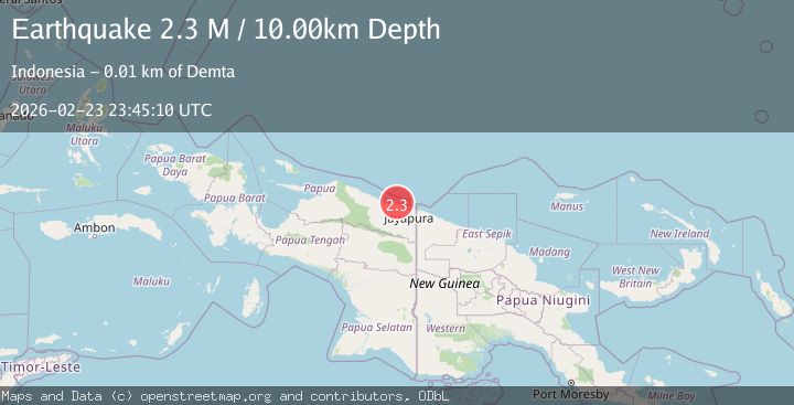
Earthquake Near North Coast of West Papua
Mon, 23 Feb 2026 23:45:09 GMT
Time1 hour ago
Location
-2.3111, 140.1855
Depth
10.0 KM
Event Summary
A 2.1 magnitude earthquake struck on Near North Coast of West Papua, at Mon, 23 Feb 2026 23:45:09 GMT. Depth: 10km. Reviewed by BMKG seismologists, this minor quake occurred at a magnitude type of M.
Magnitude
2.1
M
Source
BMKG
Intensity
-
Agency Reports
1 Sources| Source | Magnitude | Depth | Time |
|---|---|---|---|
| BMKGPrimary | 2.1 | 10 km | 1 hour ago |
Earthquake Details
ManualEvent IDbmg2026duqr
Tsunami PotentialNo
Magnitude TypeM
Nearest Places
- 4.6 km
- 4.7 km
- 4.8 km
- 4.8 km
- 5.0 km
Comments
Join the discussion about this event.
Latest Earthquakes
1.9Mag
Sweden
Time1 hour ago
Depth7.57 km
SourceVYT (Automatic)
1.8Mag
Sweden
Time1 hour ago
Depth8.30 km
SourceVYT (Automatic)
3.2Mag
Fox Islands, Aleutian Islands, Alaska
Time1 hour ago
Depth53.34 km
SourceVYT (Automatic)
2.8Mag
Java, Indonesia
Time1 hour ago
Depth20.03 km
SourceBMKG
2.3Mag
STRAIT OF GIBRALTAR
Time1 hour ago
Depth1.20 km
SourceIGN (Automatic)
Nearby Earthquakes
2.4Mag
Near North Coast of West Papua
Time1 month ago
Depth18.12 km
SourceBMKG (Automatic)
3.2Mag
NEAR N COAST OF PAPUA, INDONESIA
Time1 month ago
Depth5.00 km
SourceBMKG (Automatic)
5.0Mag
NEAR N COAST OF PAPUA, INDONESIA
Time3 years ago
Depth40.00 km
SourceEMSC (Automatic)
3.0Mag
NEAR N COAST OF PAPUA, INDONESIA
Time2 years ago
Depth14.00 km
SourceBMKG (Automatic)
2.7Mag
Near North Coast of West Papua
Time1 day ago
Depth17.60 km
SourceBMKG