Earthquake Near North Coast of West Papua
Sat, 14 Feb 2026 16:43:32 GMT
Time4 days ago
Location
-2.5007, 140.0294
Depth
104.3 KM
Event Summary
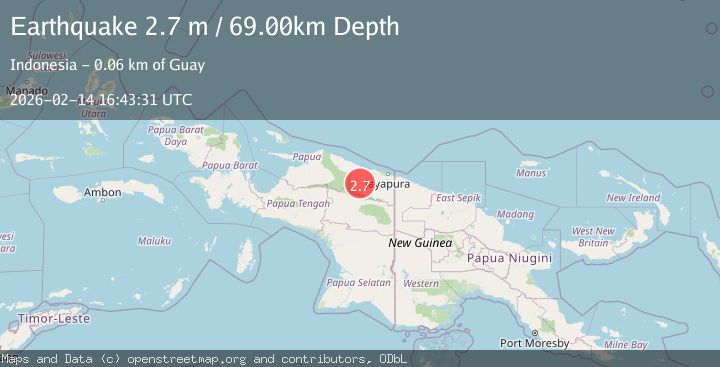
A 2.7 magnitude earthquake struck on Near North Coast of West Papua, at Sat, 14 Feb 2026 16:43:32 GMT. Depth: 104.281448km. Reviewed by BMKG seismologists, this minor quake occurred at a magnitude type of M.
Magnitude
2.7
M
Source
BMKG
Intensity
-
Agency Reports
1 Sources| Source | Magnitude | Depth | Time |
|---|---|---|---|
| BMKGPrimary | 2.7 | 69 km | 4 days ago |
Earthquake Details
ManualEvent IDbmg2026ddrg
Tsunami PotentialNo
Magnitude TypeM
Nearest Places
- Sungai Samir1.4 km
- Sungai Sokoata6.3 km
- Kampung Ganusa6.6 km
- Sungai Sum9.2 km
- Kampung Benyom Jaya II9.3 km
Comments
Join the discussion about this event.
Latest Earthquakes
2.6Mag
western Texas
Time36 seconds ago
Depth12.70 km
SourceVYT (Automatic)
1.0Mag
Southern Alaska
Time2 minutes ago
Depth1.34 km
SourceVYT (Automatic)
1.7Mag
Dead Sea region
Time3 minutes ago
Depth0.00 km
SourceVYT (Automatic)
2.0Mag
Java, Indonesia
Time4 minutes ago
Depth32.96 km
SourceBMKG
2.2Mag
Tarapaca, Chile
Time5 minutes ago
Depth120.73 km
SourceVYT (Automatic)
Nearby Earthquakes
3.0Mag
NEAR N COAST OF PAPUA, INDONESIA
Time8 months ago
Depth17.00 km
SourceBMKG (Automatic)
5.2Mag
NEAR N COAST OF PAPUA, INDONESIA
Time9 years ago
Depth3.00 km
SourceEMSC (Automatic)
2.5Mag
NEAR N COAST OF PAPUA, INDONESIA
Time1 month ago
Depth35.00 km
SourceBMKG (Automatic)
5.4Mag
NEAR N COAST OF PAPUA, INDONESIA
Time4 years ago
Depth10.00 km
SourceEMSC (Automatic)
5.1Mag
NEAR N COAST OF PAPUA, INDONESIA
Time12 years ago
Depth60.00 km
SourceEMSC (Automatic)