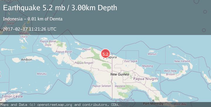
Earthquake NEAR N COAST OF PAPUA, INDONESIA
Fri, 17 Feb 2017 11:21:26 GMT
Time9 years ago
Location
-2.4200, 140.0500
Depth
3.0 KM
Event Summary
A 5.2 magnitude earthquake struck on NEAR N COAST OF PAPUA, INDONESIA, at Fri, 17 Feb 2017 11:21:26 GMT. Depth: 3km. Reviewed by EMSC seismologists, this moderate quake occurred at a magnitude type of mb.
Magnitude
5.2
mb
Source
EMSC
Intensity
-
Agency Reports
1 Sources| Source | Magnitude | Depth | Time |
|---|---|---|---|
| EMSCPrimary | 5.2 | 3 km | 9 years ago |
Earthquake Details
AutomaticEvent IDemsc_EMSC_20170217_0000056
Tsunami PotentialNo
Magnitude Typemb
Nearest Places
- Kampung Kamdera4.0 km
- Kampung Muaif4.0 km
- Distrik Demta5.1 km
- Sungai Moaif6.0 km
- Sungai Grime6.8 km
Comments
Join the discussion about this event.
Latest Earthquakes
0.9Mag
81 km NNW of Karluk, Alaska
Time59 minutes ago
Depth34.10 km
SourceUSGS (Automatic)
1.5Mag
Tarapaca, Chile
Time1 hour ago
Depth32.84 km
SourceVYT (Automatic)
2.4Mag
Potosi, Bolivia
Time1 hour ago
Depth239.01 km
SourceVYT (Automatic)
2.3Mag
Minahassa Peninsula, Sulawesi
Time1 hour ago
Depth146.04 km
SourceBMKG
1.3Mag
29 km W of Garden City, Texas
Time1 hour ago
Depth3.35 km
SourceUSGS (Automatic)
Nearby Earthquakes
5.4Mag
NEAR N COAST OF PAPUA, INDONESIA
Time4 years ago
Depth10.00 km
SourceEMSC (Automatic)
2.5Mag
NEAR N COAST OF PAPUA, INDONESIA
Time1 month ago
Depth35.00 km
SourceBMKG (Automatic)
2.5Mag
NEAR N COAST OF PAPUA, INDONESIA
Time1 month ago
Depth29.00 km
SourceBMKG (Automatic)
5.1Mag
NEAR N COAST OF PAPUA, INDONESIA
Time2 years ago
Depth10.00 km
SourceEMSC (Automatic)
3.0Mag
NEAR N COAST OF PAPUA, INDONESIA
Time8 months ago
Depth17.00 km
SourceBMKG (Automatic)