Earthquake NEAR N COAST OF PAPUA, INDONESIA
Sun, 19 Jan 2014 15:58:02 GMT
Time12 years ago
Location
-2.4600, 139.9400
Depth
60.0 KM
Event Summary
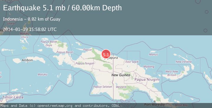
A 5.1 magnitude earthquake struck on NEAR N COAST OF PAPUA, INDONESIA, at Sun, 19 Jan 2014 15:58:02 GMT. Depth: 60km. Reviewed by EMSC seismologists, this moderate quake occurred at a magnitude type of mb.
Magnitude
5.1
mb
Source
EMSC
Intensity
-
Agency Reports
1 Sources| Source | Magnitude | Depth | Time |
|---|---|---|---|
| EMSCPrimary | 5.1 | 60 km | 12 years ago |
Earthquake Details
AutomaticEvent IDemsc_EMSC_20140119_0000084
Tsunami PotentialNo
Magnitude Typemb
Nearest Places
- Sungai Sum4.5 km
- Sungai Sokoata4.6 km
- Kampung Ganusa6.3 km
- Kampung Kapitiau7.9 km
- Sungai Biar9.6 km
Comments
Join the discussion about this event.
Latest Earthquakes
2.0Mag
CENTRAL CALIFORNIA
Time2 minutes ago
Depth3.10 km
SourceNC (Automatic)
2.8Mag
Sumba Region, Indonesia
Time5 minutes ago
Depth8.80 km
SourceBMKG
2.1Mag
Tarapaca, Chile
Time6 minutes ago
Depth115.11 km
SourceVYT (Automatic)
1.7Mag
35 km SSE of King Salmon, Alaska
Time7 minutes ago
Depth9.10 km
SourceUSGS (Automatic)
2.1Mag
Sweden
Time11 minutes ago
Depth0.00 km
SourceVYT (Automatic)
Nearby Earthquakes
3.0Mag
NEAR N COAST OF PAPUA, INDONESIA
Time8 months ago
Depth17.00 km
SourceBMKG (Automatic)
5.4Mag
NEAR N COAST OF PAPUA, INDONESIA
Time3 years ago
Depth10.00 km
SourceEMSC (Automatic)
2.7Mag
Near North Coast of West Papua
Time4 days ago
Depth104.28 km
SourceBMKG
2.5Mag
NEAR N COAST OF PAPUA, INDONESIA
Time1 month ago
Depth29.00 km
SourceBMKG (Automatic)
5.2Mag
NEAR N COAST OF PAPUA, INDONESIA
Time9 years ago
Depth3.00 km
SourceEMSC (Automatic)