Earthquake South of Bali, Indonesia
Sat, 14 Feb 2026 21:55:46 GMT
Time4 days ago
Location
-9.3723, 115.4213
Depth
15.6 KM
Event Summary
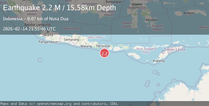
A 2.2 magnitude earthquake struck on South of Bali, Indonesia, at Sat, 14 Feb 2026 21:55:46 GMT. Depth: 15.584167km. Reviewed by BMKG seismologists, this minor quake occurred at a magnitude type of M.
Magnitude
2.2
M
Source
BMKG
Intensity
-
Agency Reports
1 Sources| Source | Magnitude | Depth | Time |
|---|---|---|---|
| BMKGPrimary | 2.2 | 16 km | 4 days ago |
Earthquake Details
ManualEvent IDbmg2026debo
Tsunami PotentialNo
Magnitude TypeM
Nearest Places
- Bumi Linggah The Pratama Villas59.3 km
- Tukad Mejan64.0 km
- Tukad Kaman64.0 km
- The Sawangan Luxury Villas And Suites64.1 km
- Heavenly Residences64.1 km
Comments
Join the discussion about this event.
Latest Earthquakes
2.8Mag
West Papua Region, Indonesia
Time17 hours ago
Depth10.00 km
SourceBMKG
2.8Mag
Java, Indonesia
Time17 hours ago
Depth12.47 km
SourceBMKG
2.6Mag
HALMAHERA, INDONESIA
Time17 hours ago
Depth16.00 km
SourceBMKG (Automatic)
2.9Mag
Southern Molucca Sea
Time17 hours ago
Depth170.58 km
SourceBMKG
2.4Mag
WESTERN TURKEY
Time17 hours ago
Depth5.40 km
SourceKOERI (Automatic)
Nearby Earthquakes
2.7Mag
South of Bali, Indonesia
Time2 weeks ago
Depth28.04 km
SourceBMKG (Automatic)
2.9Mag
SOUTH OF BALI, INDONESIA
Time0 months ago
Depth26.00 km
SourceBMKG (Automatic)
3.0Mag
SOUTH OF BALI, INDONESIA
Time3 years ago
Depth25.00 km
SourceDJA (Automatic)
3.0Mag
SOUTH OF BALI, INDONESIA
Time1 month ago
Depth30.00 km
SourceBMKG (Automatic)
3.0Mag
SOUTH OF BALI, INDONESIA
Time1 year ago
Depth17.00 km
SourceBMKG (Automatic)