Earthquake Bali Sea
Sun, 15 Feb 2026 10:37:49 GMT
Time3 days ago
Location
-7.7421, 117.3238
Depth
17.9 KM
Event Summary
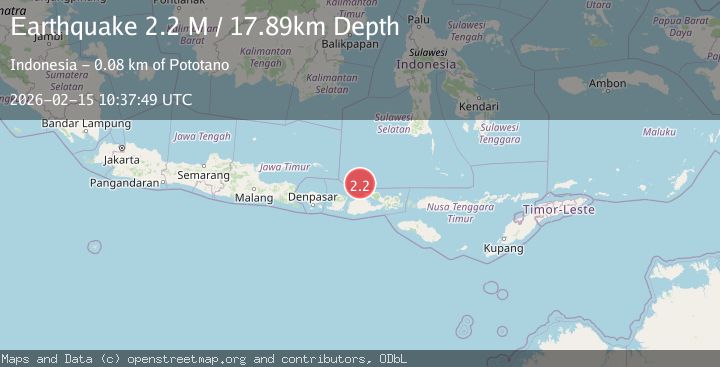
A 2.2 magnitude earthquake struck on Bali Sea, at Sun, 15 Feb 2026 10:37:49 GMT. Depth: 17.894545km. Reviewed by BMKG seismologists, this minor quake occurred at a magnitude type of M.
Magnitude
2.2
M
Source
BMKG
Intensity
-
Agency Reports
1 Sources| Source | Magnitude | Depth | Time |
|---|---|---|---|
| BMKGPrimary | 2.2 | 18 km | 3 days ago |
Earthquake Details
ManualEvent IDbmg2026dfar
Tsunami PotentialNo
Magnitude TypeM
Nearest Places
- Pulau Sadapur13.9 km
- Karang Satengar18.2 km
- Gosong Sakunci18.9 km
- Gosong Sadapur21.5 km
- Pulau Sailus Kecil22.3 km
Comments
Join the discussion about this event.
Latest Earthquakes
1.0Mag
41 km NW of Toyah, Texas
Time15 hours ago
Depth3.44 km
SourceUSGS (Automatic)
2.1Mag
Potosi, Bolivia
Time15 hours ago
Depth134.64 km
SourceVYT (Automatic)
2.0Mag
WESTERN TEXAS
Time15 hours ago
Depth7.30 km
SourceTX (Automatic)
3.8Mag
Andreanof Islands, Aleutian Islands, Alaska
Time16 hours ago
Depth15.50 km
SourceVYT (Automatic)
1.4Mag
WESTERN TURKEY
Time16 hours ago
Depth11.40 km
SourceAFAD (Automatic)