Earthquake Sunda Strait, Indonesia
Sun, 15 Feb 2026 12:03:56 GMT
Time3 days ago
Location
-6.2127, 104.7089
Depth
38.3 KM
Event Summary
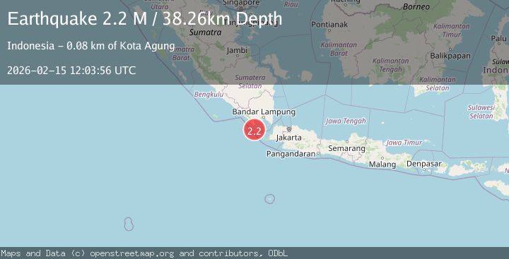
A 2.2 magnitude earthquake struck on Sunda Strait, Indonesia, at Sun, 15 Feb 2026 12:03:56 GMT. Depth: 38.257198km. Reviewed by BMKG seismologists, this minor quake occurred at a magnitude type of M.
Magnitude
2.2
M
Source
BMKG
Intensity
-
Agency Reports
1 Sources| Source | Magnitude | Depth | Time |
|---|---|---|---|
| BMKGPrimary | 2.2 | 38 km | 3 days ago |
Earthquake Details
ManualEvent IDbmg2026dfdp
Tsunami PotentialNo
Magnitude TypeM
Nearest Places
- Cukuredak Seamount24.2 km
- Wai Belambang31.2 km
- Danau Menjukut31.6 km
- Tanjung Cina31.7 km
- Wai Kejadina32.9 km
Comments
Join the discussion about this event.
Latest Earthquakes
1.9Mag
Antofagasta, Chile
Time1 minute ago
Depth9.40 km
SourceVYT (Automatic)
1.2Mag
63 km WNW of Toyah, Texas
Time4 minutes ago
Depth0.08 km
SourceUSGS (Automatic)
1.4Mag
12 km SSW of Salton City, CA
Time8 minutes ago
Depth5.74 km
SourceUSGS (Automatic)
1.2Mag
Southern Alaska
Time13 minutes ago
Depth37.11 km
SourceVYT (Automatic)
3.0Mag
Seram, Indonesia
Time13 minutes ago
Depth12.36 km
SourceBMKG
Nearby Earthquakes
5.0Mag
SUNDA STRAIT, INDONESIA
Time5 years ago
Depth68.00 km
SourceEMSC (Automatic)
5.2Mag
SUNDA STRAIT, INDONESIA
Time12 years ago
Depth72.00 km
SourceEMSC (Automatic)
5.4Mag
SUNDA STRAIT, INDONESIA
Time7 months ago
Depth49.70 km
SourceEMSC (Automatic)
5.4Mag
SUNDA STRAIT, INDONESIA
Time16 years ago
Depth73.00 km
SourceEMSC (Automatic)
3.0Mag
SUNDA STRAIT, INDONESIA
Time4 months ago
Depth10.00 km
SourceBMKG (Automatic)