Earthquake West Papua Region, Indonesia
Sun, 15 Feb 2026 16:09:15 GMT
Time4 days ago
Location
-1.7318, 133.1381
Depth
10.0 KM
Event Summary
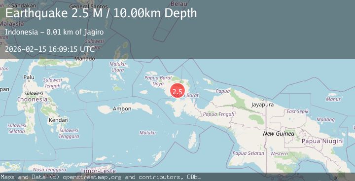
A 2.5 magnitude earthquake struck on West Papua Region, Indonesia, at Sun, 15 Feb 2026 16:09:15 GMT. Depth: 10km. Reviewed by BMKG seismologists, this minor quake occurred at a magnitude type of M.
Magnitude
2.5
M
Source
BMKG
Intensity
-
Agency Reports
1 Sources| Source | Magnitude | Depth | Time |
|---|---|---|---|
| BMKGPrimary | 2.5 | 10 km | 4 days ago |
Earthquake Details
ManualEvent IDbmg2026dflp
Tsunami PotentialNo
Magnitude TypeM
Nearest Places
- Sungai Miesandok1.6 km
- Sungai Moridoyi1.6 km
- Distrik Moskona Selatan2.7 km
- Distrik Meyado4.9 km
- Mesinidok5.2 km
Comments
Join the discussion about this event.
Latest Earthquakes
2.0Mag
Central California
Time2 minutes ago
Depth0.00 km
SourceVYT (Automatic)
1.0Mag
6 km NW of The Geysers, CA
Time3 minutes ago
Depth2.64 km
SourceUSGS (Automatic)
2.0Mag
SWEDEN
Time8 minutes ago
Depth12.20 km
SourceSNSN (Automatic)
3.0Mag
DODECANESE ISLANDS, GREECE
Time9 minutes ago
Depth10.00 km
SourceNOA (Automatic)
3.2Mag
Southeastern Alaska
Time10 minutes ago
Depth0.00 km
SourceVYT (Automatic)
Nearby Earthquakes
4.2Mag
West Papua Region, Indonesia
Time2 weeks ago
Depth13.60 km
SourceBMKG (Automatic)
3.3Mag
West Papua Region, Indonesia
Time1 week ago
Depth24.19 km
SourceBMKG (Automatic)
3.0Mag
PAPUA, INDONESIA
Time10 months ago
Depth62.00 km
SourceBMKG (Automatic)
4.0Mag
PAPUA, INDONESIA
Time10 months ago
Depth10.00 km
SourceBMKG (Automatic)
2.3Mag
West Papua Region, Indonesia
Time2 weeks ago
Depth10.00 km
SourceBMKG (Automatic)