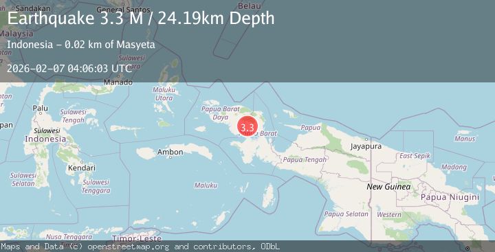
Earthquake West Papua Region, Indonesia
Sat, 07 Feb 2026 04:06:03 GMT
Time1 hour ago
Location
-1.6856, 133.1496
Depth
24.2 KM
Event Summary
A 3.3 magnitude earthquake struck on West Papua Region, Indonesia, at Sat, 07 Feb 2026 04:06:03 GMT. Depth: 24.18717km. Reviewed by BMKG seismologists, this minor quake occurred at a magnitude type of M.
Magnitude
3.3
M
Source
BMKG
Intensity
-
Agency Reports
1 Sources| Source | Magnitude | Depth | Time |
|---|---|---|---|
| BMKGPrimary | 3.3 | 24 km | 1 hour ago |
Earthquake Details
AutomaticEvent IDbmg2026cpxs
Tsunami PotentialNo
Magnitude TypeM
Nearest Places
- Mesinidok0.3 km
- Sungai Miesandok4.0 km
- Sungai Moridoyi4.0 km
- Kampung Mekiesefeb4.6 km
- Distrik Meyado5.0 km
Comments
Join the discussion about this event.
Latest Earthquakes
2.4Mag
Sumba Region, Indonesia
Time16 minutes ago
Depth57.80 km
SourceBMKG (Automatic)
2.6Mag
ANTOFAGASTA, CHILE
Time16 minutes ago
Depth130.80 km
SourceCSN (Automatic)
1.7Mag
11 km SE of Pāhala, Hawaii
Time21 minutes ago
Depth32.03 km
SourceUSGS (Automatic)
2.3Mag
Sumba Region, Indonesia
Time22 minutes ago
Depth10.00 km
SourceBMKG (Automatic)
1.0Mag
24 km NNW of Searles Valley, CA
Time30 minutes ago
Depth4.51 km
SourceUSGS (Automatic)
Nearby Earthquakes
4.2Mag
West Papua Region, Indonesia
Time5 days ago
Depth13.60 km
SourceBMKG (Automatic)
2.3Mag
West Papua Region, Indonesia
Time3 days ago
Depth10.00 km
SourceBMKG (Automatic)
2.7Mag
West Papua Region, Indonesia
Time1 week ago
Depth14.00 km
SourceBMKG (Automatic)
2.1Mag
West Papua Region, Indonesia
Time6 days ago
Depth10.00 km
SourceBMKG (Automatic)
2.9Mag
West Papua Region, Indonesia
Time6 days ago
Depth10.00 km
SourceBMKG (Automatic)