Earthquake Minahassa Peninsula, Sulawesi
Mon, 16 Feb 2026 18:07:15 GMT
Time2 days ago
Location
-0.0286, 123.3350
Depth
141.6 KM
Event Summary
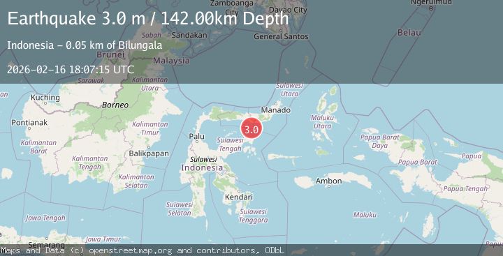
A 3.0 magnitude earthquake struck on Minahassa Peninsula, Sulawesi, at Mon, 16 Feb 2026 18:07:15 GMT. Depth: 141.633011km. Reviewed by BMKG seismologists, this minor quake occurred at a magnitude type of M.
Magnitude
3.0
M
Source
BMKG
Intensity
-
Agency Reports
1 Sources| Source | Magnitude | Depth | Time |
|---|---|---|---|
| BMKGPrimary | 3.0 | 142 km | 2 days ago |
Earthquake Details
ManualEvent IDbmg2026dhla
Tsunami PotentialNo
Magnitude TypeM
Nearest Places
- Tombalilatu36.9 km
- Wulungiyo Tonala37.3 km
- Dutula Tombulilato37.5 km
- Tonala Timur37.5 km
- Moota Barat37.7 km
Comments
Join the discussion about this event.
Latest Earthquakes
1.6Mag
Southeastern Alaska
Time2 hours ago
Depth10.13 km
SourceVYT (Automatic)
2.8Mag
Southern California
Time2 hours ago
Depth5.37 km
SourceVYT (Automatic)
2.7Mag
Java, Indonesia
Time2 hours ago
Depth14.57 km
SourceBMKG
0.7Mag
3 km NNW of The Geysers, CA
Time2 hours ago
Depth2.60 km
SourceUSGS (Automatic)
1.1Mag
33 km SSE of Glacier View, Alaska
Time2 hours ago
Depth20.20 km
SourceUSGS (Automatic)
Nearby Earthquakes
5.1Mag
MINAHASA, SULAWESI, INDONESIA
Time3 years ago
Depth134.00 km
SourceEMSC (Automatic)
3.0Mag
SULAWESI, INDONESIA
Time2 years ago
Depth119.00 km
SourceDJA (Automatic)
5.3Mag
MINAHASA, SULAWESI, INDONESIA
Time17 years ago
Depth149.00 km
SourceEMSC (Automatic)
5.0Mag
SULAWESI, INDONESIA
Time16 years ago
Depth147.00 km
SourceEMSC (Automatic)
3.0Mag
MINAHASA, SULAWESI, INDONESIA
Time3 years ago
Depth145.00 km
SourceDJA (Automatic)