Earthquake Southeastern Alaska
Thu, 19 Feb 2026 06:33:04 GMT
Time1 hour ago
Location
60.4143, -139.6864
Depth
10.1 KM
Event Summary
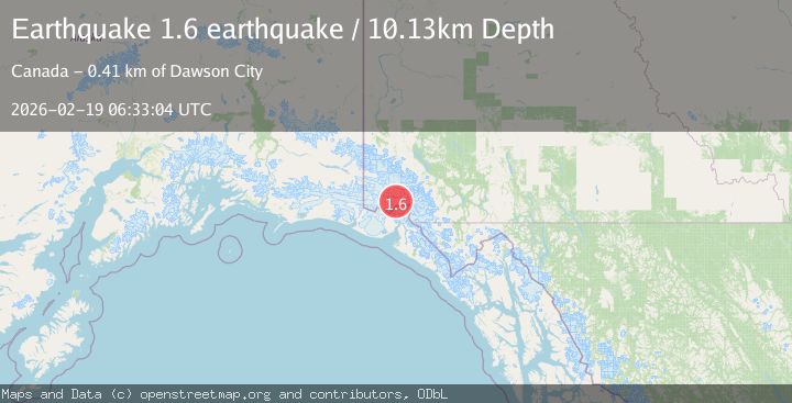
A 1.6 magnitude earthquake struck on Southeastern Alaska, at Thu, 19 Feb 2026 06:33:04 GMT. Depth: 10.1318359375km. Reviewed by VYT seismologists, this minor quake occurred at a magnitude type of earthquake.
Magnitude
1.6
earthquake
Source
VYT
Intensity
-
Agency Reports
1 Sources| Source | Magnitude | Depth | Time |
|---|---|---|---|
| VYTPrimary | 1.6 | 10 km | 1 hour ago |
Earthquake Details
AutomaticEvent IDvyt_1e9rpb91576gk
Tsunami PotentialNo
Magnitude Typeearthquake
Nearest Places
- Mount Vancouver6.2 km
- Mount King George14.1 km
- Hubbard Glacier18.6 km
- St. Elias Mountains19.1 km
- Marker Lake19.8 km
Comments
Join the discussion about this event.
Latest Earthquakes
2.8Mag
Southern California
Time1 hour ago
Depth5.37 km
SourceVYT (Automatic)
2.7Mag
Java, Indonesia
Time1 hour ago
Depth14.57 km
SourceBMKG
0.7Mag
3 km NNW of The Geysers, CA
Time1 hour ago
Depth2.60 km
SourceUSGS (Automatic)
1.1Mag
33 km SSE of Glacier View, Alaska
Time1 hour ago
Depth20.20 km
SourceUSGS (Automatic)
1.8Mag
50 km W of Mentone, Texas
Time1 hour ago
Depth3.75 km
SourceUSGS (Automatic)
Nearby Earthquakes
2.4Mag
Southeastern Alaska
Time1 week ago
Depth0.00 km
SourceVYT (Automatic)
2.7Mag
SOUTHERN YUKON TERRITORY, CANADA
Time1 month ago
Depth5.00 km
SourceNEIC (Automatic)
1.6Mag
Southeastern Alaska
Time3 days ago
Depth0.00 km
SourceVYT (Automatic)
2.9Mag
SOUTHERN YUKON TERRITORY, CANADA
Time1 month ago
Depth5.00 km
SourceNEIC (Automatic)
2.7Mag
SOUTHERN YUKON TERRITORY, CANADA
Time1 month ago
Depth5.00 km
SourceNEIC (Automatic)