Earthquake 3 km NNW of The Geysers, CA
Thu, 19 Feb 2026 06:24:39 GMT
Time2 hours ago
Location
38.8045, -122.7678
Depth
2.6 KM
Event Summary
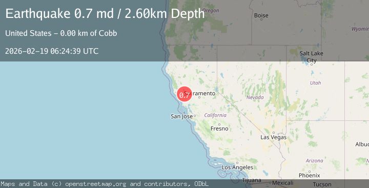
A 0.7 magnitude earthquake struck on 3 km NNW of The Geysers, CA, at Thu, 19 Feb 2026 06:24:39 GMT. Depth: 2.59999990463257km. Reviewed by USGS seismologists, this minor quake occurred at a magnitude type of md.
Magnitude
0.7
md
Source
USGS
Intensity
-
Agency Reports
1 Sources| Source | Magnitude | Depth | Time |
|---|---|---|---|
| USGSPrimary | 0.7 | 3 km | 2 hours ago |
Earthquake Details
AutomaticEvent IDusgs_nc75315737
Tsunami PotentialNo
Magnitude Typemd
Nearest Places
- Burned Mountain1.0 km
- Geyser Rock1.0 km
- Hot Springs Creek2.2 km
- Cobb Mountain2.4 km
- Smudgeo Number 1 Heliport2.5 km
Comments
Join the discussion about this event.
Latest Earthquakes
1.6Mag
Southeastern Alaska
Time2 hours ago
Depth10.13 km
SourceVYT (Automatic)
2.8Mag
Southern California
Time2 hours ago
Depth5.37 km
SourceVYT (Automatic)
2.7Mag
Java, Indonesia
Time2 hours ago
Depth14.57 km
SourceBMKG
1.1Mag
33 km SSE of Glacier View, Alaska
Time2 hours ago
Depth20.20 km
SourceUSGS (Automatic)
1.8Mag
50 km W of Mentone, Texas
Time2 hours ago
Depth3.75 km
SourceUSGS (Automatic)
Nearby Earthquakes
3.0Mag
NORTHERN CALIFORNIA
Time8 months ago
Depth0.20 km
SourceNC (Automatic)
1.1Mag
3 km NNW of The Geysers, CA
Time1 week ago
Depth3.47 km
SourceUSGS (Automatic)
1.1Mag
3 km NNW of The Geysers, CA
Time4 days ago
Depth3.84 km
SourceUSGS (Automatic)
1.2Mag
3 km NNW of The Geysers, CA
Time1 week ago
Depth1.64 km
SourceUSGS (Automatic)
1.5Mag
4 km NNW of The Geysers, CA
Time3 weeks ago
Depth0.65 km
SourceUSGS (Automatic)