Earthquake Bali Sea
Mon, 16 Feb 2026 22:01:44 GMT
Time1 week ago
Location
-7.9493, 116.3150
Depth
10.0 KM
Event Summary
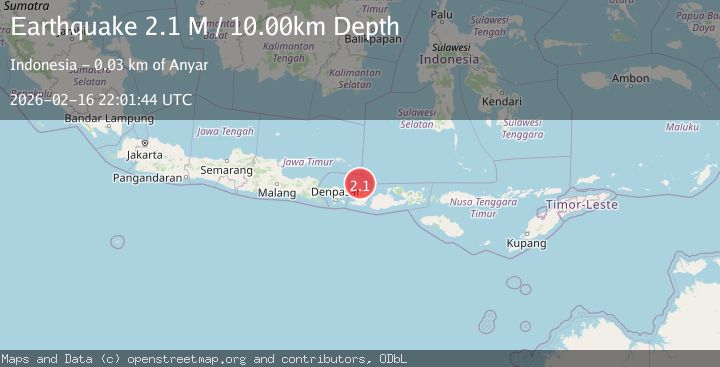
A 2.1 magnitude earthquake struck on Bali Sea, at Mon, 16 Feb 2026 22:01:44 GMT. Depth: 10km. Reviewed by BMKG seismologists, this minor quake occurred at a magnitude type of M.
Magnitude
2.1
M
Source
BMKG
Intensity
-
Agency Reports
1 Sources| Source | Magnitude | Depth | Time |
|---|---|---|---|
| BMKGPrimary | 2.1 | 10 km | 1 week ago |
Earthquake Details
ManualEvent IDbmg2026dhst
Tsunami PotentialNo
Magnitude TypeM
Nearest Places
- 29.4 km
- 29.5 km
- 29.6 km
- 29.7 km
- 29.7 km
Comments
Join the discussion about this event.
Latest Earthquakes
2.5Mag
Central Alaska
Time1 hour ago
Depth678.34 km
SourceVYT (Automatic)
0.8Mag
7 km NNE of Cabazon, CA
Time1 hour ago
Depth9.10 km
SourceUSGS (Automatic)
2.4Mag
Minahassa Peninsula, Sulawesi
Time1 hour ago
Depth142.45 km
SourceBMKG
3.3Mag
JUJUY, ARGENTINA
Time1 hour ago
Depth212.00 km
SourceNSNA (Automatic)
1.4Mag
51 km W of Tatitlek, Alaska
Time1 hour ago
Depth29.00 km
SourceUSGS (Automatic)
Nearby Earthquakes
2.3Mag
Bali Sea
Time2 weeks ago
Depth10.90 km
SourceBMKG (Automatic)
2.9Mag
Bali Sea
Time1 month ago
Depth15.74 km
SourceBMKG (Automatic)
4.0Mag
LOMBOK REGION, INDONESIA
Time7 months ago
Depth310.00 km
SourceBMKG (Automatic)
5.3Mag
LOMBOK REGION, INDONESIA
Time7 years ago
Depth10.00 km
SourceEMSC (Automatic)
4.0Mag
LOMBOK REGION, INDONESIA
Time6 years ago
Depth10.00 km
SourceDJA (Automatic)