Earthquake 51 km W of Tatitlek, Alaska
Thu, 26 Feb 2026 15:02:52 GMT
Time1 hour ago
Location
60.8960, -147.6250
Depth
29.0 KM
Event Summary
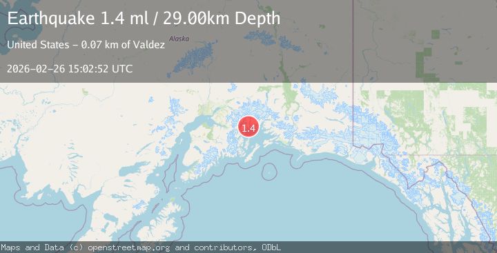
A 1.4 magnitude earthquake struck on 51 km W of Tatitlek, Alaska, at Thu, 26 Feb 2026 15:02:52 GMT. Depth: 29km. Reviewed by USGS seismologists, this minor quake occurred at a magnitude type of ml.
Magnitude
1.4
ml
Source
USGS
Intensity
-
Agency Reports
1 Sources| Source | Magnitude | Depth | Time |
|---|---|---|---|
| USGSPrimary | 1.4 | 29 km | 1 hour ago |
Earthquake Details
AutomaticEvent IDusgs_aka2026dzypif
Tsunami PotentialNo
Magnitude Typeml
Nearest Places
- 1.0 km
- 2.9 km
- 3.3 km
- 4.1 km
- 4.7 km
Comments
Join the discussion about this event.
Latest Earthquakes
2.4Mag
Minahassa Peninsula, Sulawesi
Time1 hour ago
Depth142.45 km
SourceBMKG
1.9Mag
FRANCE
Time1 hour ago
Depth5.00 km
SourceReNaSS (Automatic)
1.9Mag
SWITZERLAND
Time1 hour ago
Depth-0.80 km
SourceETHZ (Automatic)
2.1Mag
Tarapaca, Chile
Time1 hour ago
Depth14.53 km
SourceVYT (Automatic)
2.2Mag
Southeastern Alaska
Time1 hour ago
Depth0.00 km
SourceVYT (Automatic)
Nearby Earthquakes
3.0Mag
SOUTHERN ALASKA
Time5 years ago
Depth25.00 km
SourceNEIC (Automatic)
1.6Mag
53 km W of Tatitlek, Alaska
Time1 month ago
Depth13.20 km
SourceUSGS (Automatic)
1.5Mag
Southern Alaska
Time3 days ago
Depth28.69 km
SourceVYT (Automatic)
3.0Mag
SOUTHERN ALASKA
Time9 years ago
Depth35.00 km
SourceNEIR (Automatic)
1.9Mag
Southern Alaska
Time2 weeks ago
Depth0.00 km
SourceVYT (Automatic)