Earthquake Near North Coast of West Papua
Mon, 16 Feb 2026 23:30:50 GMT
Time4 days ago
Location
-2.4521, 140.5320
Depth
10.0 KM
Event Summary
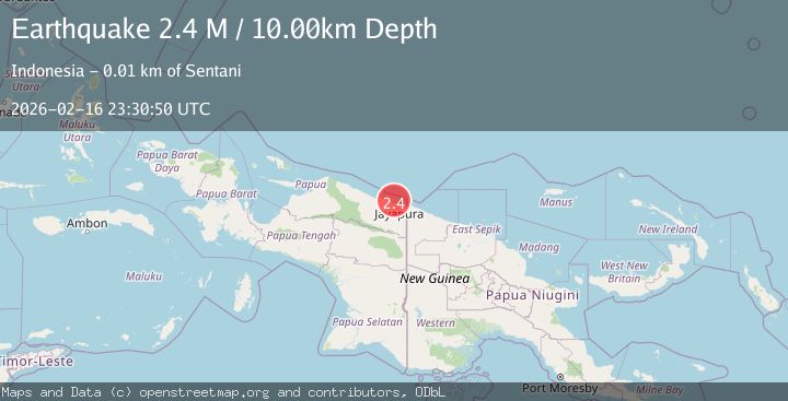
A 2.4 magnitude earthquake struck on Near North Coast of West Papua, at Mon, 16 Feb 2026 23:30:50 GMT. Depth: 10km. Reviewed by BMKG seismologists, this minor quake occurred at a magnitude type of M.
Magnitude
2.4
M
Source
BMKG
Intensity
-
Agency Reports
1 Sources| Source | Magnitude | Depth | Time |
|---|---|---|---|
| BMKGPrimary | 2.4 | 10 km | 4 days ago |
Earthquake Details
ManualEvent IDbmg2026dhvr
Tsunami PotentialNo
Magnitude TypeM
Nearest Places
- 1Wari1.2 km
- 1.9 km
- 2.5 km
- 3.3 km
- 4.0 km
Comments
Join the discussion about this event.
Latest Earthquakes
3.5Mag
Flores region, Indonesia
Time22 hours ago
Depth638.55 km
SourceVYT (Automatic)
3.0Mag
South of Java, Indonesia
Time22 hours ago
Depth26.04 km
SourceBMKG
2.1Mag
Java, Indonesia
Time22 hours ago
Depth128.82 km
SourceBMKG
1.8Mag
60 km S of Whites City, New Mexico
Time22 hours ago
Depth3.28 km
SourceUSGS (Automatic)
2.2Mag
Sumbawa Region, Indonesia
Time23 hours ago
Depth12.33 km
SourceBMKG
Nearby Earthquakes
2.5Mag
Near North Coast of West Papua
Time3 weeks ago
Depth10.00 km
SourceBMKG (Automatic)
2.8Mag
Near North Coast of West Papua
Time1 month ago
Depth10.00 km
SourceBMKG (Automatic)
3.0Mag
NEAR N COAST OF PAPUA, INDONESIA
Time2 years ago
Depth17.00 km
SourceDJA (Automatic)
2.3Mag
Near North Coast of West Papua
Time3 weeks ago
Depth18.00 km
SourceBMKG (Automatic)
4.0Mag
NEAR N COAST OF PAPUA, INDONESIA
Time2 years ago
Depth10.00 km
SourceDJA (Automatic)