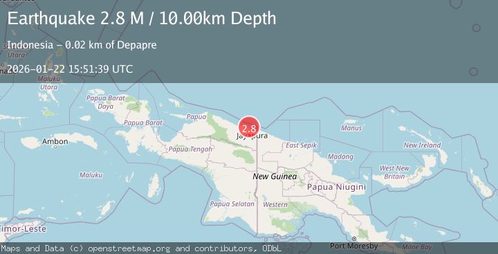
Earthquake Near North Coast of West Papua
Thu, 22 Jan 2026 15:51:39 GMT
Time4 days ago
Location
-2.4276, 140.4993
Depth
10.0 KM
Event Summary
A 2.8 magnitude earthquake struck on Near North Coast of West Papua, at Thu, 22 Jan 2026 15:51:39 GMT. Depth: 10km. Reviewed by BMKG seismologists, this minor quake occurred at a magnitude type of M.
Magnitude
2.8
M
Source
BMKG
Intensity
-
Agency Reports
1 Sources| Source | Magnitude | Depth | Time |
|---|---|---|---|
| BMKGPrimary | 2.8 | 10 km | 4 days ago |
Earthquake Details
AutomaticEvent IDbmg2026bnoy
Tsunami PotentialNo
Magnitude TypeM
Nearest Places
- Sapari4.7 km
- Kampung Yongsu Dosoyo4.9 km
- Teluk Torare5.1 km
- Wari5.6 km
- Kampung Yongsu Sapari5.8 km
Comments
Join the discussion about this event.
Latest Earthquakes
2.5Mag
Northern Sumatra, Indonesia
Time3 minutes ago
Depth0.60 km
SourceBMKG (Automatic)
2.1Mag
SOUTHERN TEXAS
Time3 minutes ago
Depth0.00 km
SourceTX (Automatic)
0.9Mag
EASTERN TURKEY
Time11 minutes ago
Depth6.80 km
SourceAFAD (Automatic)
2.4Mag
EASTERN TURKEY
Time13 minutes ago
Depth4.30 km
SourceKOERI (Automatic)
0.2Mag
6 km WNW of Cobb, CA
Time16 minutes ago
Depth1.56 km
SourceUSGS (Automatic)
Nearby Earthquakes
2.5Mag
Near North Coast of West Papua
Time23 hours ago
Depth10.00 km
SourceBMKG (Automatic)
2.1Mag
Near North Coast of West Papua
Time1 day ago
Depth10.56 km
SourceBMKG (Automatic)
2.8Mag
Near North Coast of West Papua
Time2 days ago
Depth12.25 km
SourceBMKG (Automatic)
2.2Mag
Near North Coast of West Papua
Time3 days ago
Depth30.05 km
SourceBMKG (Automatic)
2.6Mag
Near North Coast of West Papua
Time5 days ago
Depth10.00 km
SourceBMKG (Automatic)