Earthquake West Papua Region, Indonesia
Tue, 17 Feb 2026 05:27:13 GMT
Time3 days ago
Location
-1.7692, 132.8931
Depth
37.3 KM
Event Summary
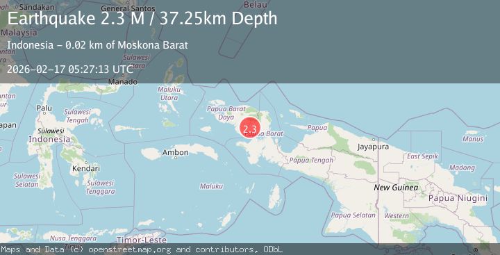
A 2.3 magnitude earthquake struck on West Papua Region, Indonesia, at Tue, 17 Feb 2026 05:27:13 GMT. Depth: 37.251617km. Reviewed by BMKG seismologists, this minor quake occurred at a magnitude type of M.
Magnitude
2.3
M
Source
BMKG
Intensity
-
Agency Reports
1 Sources| Source | Magnitude | Depth | Time |
|---|---|---|---|
| BMKGPrimary | 2.3 | 37 km | 3 days ago |
Earthquake Details
ManualEvent IDbmg2026dihl
Tsunami PotentialNo
Magnitude TypeM
Nearest Places
- Sungai Meyerga10.0 km
- Sungai Hugugu10.6 km
- Kampung Meyerga10.7 km
- Sungai Maikinam11.1 km
- Sungai Meyetrim11.4 km
Comments
Join the discussion about this event.
Latest Earthquakes
0.8Mag
Washington
Time4 hours ago
Depth0.00 km
SourceVYT (Automatic)
2.5Mag
Savu Sea
Time4 hours ago
Depth97.25 km
SourceBMKG
1.2Mag
Southeastern Alaska
Time4 hours ago
Depth0.00 km
SourceVYT (Automatic)
3.4Mag
Talaud Islands, Indonesia
Time4 hours ago
Depth15.68 km
SourceBMKG
2.9Mag
OFFSHORE EL SALVADOR
Time5 hours ago
Depth22.00 km
SourceINET (Automatic)
Nearby Earthquakes
3.0Mag
PAPUA, INDONESIA
Time9 months ago
Depth61.00 km
SourceBMKG (Automatic)
4.0Mag
PAPUA, INDONESIA
Time10 months ago
Depth10.00 km
SourceBMKG (Automatic)
3.0Mag
PAPUA, INDONESIA
Time10 months ago
Depth62.00 km
SourceBMKG (Automatic)
4.2Mag
West Papua Region, Indonesia
Time2 weeks ago
Depth13.60 km
SourceBMKG (Automatic)
2.3Mag
West Papua Region, Indonesia
Time2 weeks ago
Depth10.00 km
SourceBMKG (Automatic)