Earthquake Minahassa Peninsula, Sulawesi
Tue, 17 Feb 2026 20:06:41 GMT
Time16 hours ago
Location
0.9977, 121.0706
Depth
7.6 KM
Event Summary
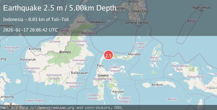
A 2.4 magnitude earthquake struck on Minahassa Peninsula, Sulawesi, at Tue, 17 Feb 2026 20:06:41 GMT. Depth: 7.557169km. Reviewed by BMKG seismologists, this minor quake occurred at a magnitude type of M.
Magnitude
2.4
M
Source
BMKG
Intensity
-
Agency Reports
1 Sources| Source | Magnitude | Depth | Time |
|---|---|---|---|
| BMKGPrimary | 2.4 | 8 km | 16 hours ago |
Earthquake Details
ManualEvent IDbmg2026djkl
Tsunami PotentialNo
Magnitude TypeM
Nearest Places
- Butakio Nappanga Dedek2.0 km
- Butakio Nappanga Dako2.0 km
- Mbukid Totolu3.8 km
- Butakio Tamborlang4.7 km
- Butakio Tuari4.7 km
Comments
Join the discussion about this event.
Latest Earthquakes
1.8Mag
Antofagasta, Chile
Time16 hours ago
Depth32.10 km
SourceVYT (Automatic)
2.7Mag
Halmahera, Indonesia
Time16 hours ago
Depth58.00 km
SourceBMKG
2.1Mag
Sumbawa Region, Indonesia
Time16 hours ago
Depth13.19 km
SourceBMKG
1.6Mag
18 km W of Balmorhea, Texas
Time16 hours ago
Depth0.00 km
SourceUSGS (Automatic)
1.6Mag
Southern Alaska
Time16 hours ago
Depth0.85 km
SourceVYT (Automatic)
Nearby Earthquakes
5.0Mag
MINAHASA, SULAWESI, INDONESIA
Time17 years ago
Depth562.00 km
SourceEMSC (Automatic)
2.3Mag
Minahassa Peninsula, Sulawesi
Time5 days ago
Depth4.39 km
SourceBMKG
2.8Mag
MINAHASA, SULAWESI, INDONESIA
Time1 month ago
Depth22.00 km
SourceBMKG (Automatic)
3.2Mag
Minahassa Peninsula, Sulawesi
Time1 week ago
Depth39.05 km
SourceBMKG (Automatic)
3.0Mag
MINAHASA, SULAWESI, INDONESIA
Time2 years ago
Depth55.00 km
SourceDJA (Automatic)