Earthquake West Papua Region, Indonesia
Tue, 17 Feb 2026 21:22:31 GMT
Time14 hours ago
Location
-2.0931, 134.2061
Depth
10.0 KM
Event Summary
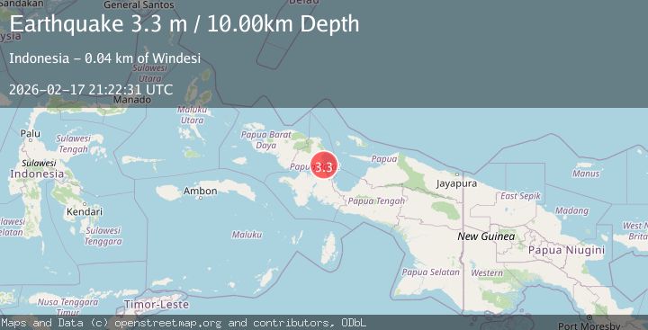
A 3.3 magnitude earthquake struck on West Papua Region, Indonesia, at Tue, 17 Feb 2026 21:22:31 GMT. Depth: 10km. Reviewed by BMKG seismologists, this minor quake occurred at a magnitude type of M.
Magnitude
3.3
M
Source
BMKG
Intensity
-
Agency Reports
1 Sources| Source | Magnitude | Depth | Time |
|---|---|---|---|
| BMKGPrimary | 3.3 | 10 km | 14 hours ago |
Earthquake Details
ManualEvent IDbmg2026djmy
Tsunami PotentialNo
Magnitude TypeM
Nearest Places
- Tapappai5.3 km
- Pulau Nuana6.4 km
- Pulau Nukusa6.7 km
- Pulau Nusaner8.9 km
- Pulau Purup9.8 km
Comments
Join the discussion about this event.
Latest Earthquakes
3.0Mag
Tarapaca, Chile
Time14 hours ago
Depth100.83 km
SourceVYT (Automatic)
2.4Mag
Java, Indonesia
Time14 hours ago
Depth14.70 km
SourceBMKG
2.2Mag
Flores Sea
Time14 hours ago
Depth28.79 km
SourceBMKG
1.3Mag
Kenai Peninsula, Alaska
Time14 hours ago
Depth21.00 km
SourceVYT (Automatic)
1.6Mag
Southern Alaska
Time15 hours ago
Depth84.72 km
SourceVYT (Automatic)
Nearby Earthquakes
2.5Mag
NEAR N COAST OF PAPUA, INDONESIA
Time5 days ago
Depth10.00 km
SourceBMKG (Automatic)
3.0Mag
NEAR N COAST OF PAPUA, INDONESIA
Time1 year ago
Depth11.00 km
SourceBMKG (Automatic)
4.0Mag
NEAR N COAST OF PAPUA, INDONESIA
Time5 years ago
Depth18.00 km
SourceNEIC (Automatic)
4.0Mag
NEAR N COAST OF PAPUA, INDONESIA
Time5 years ago
Depth10.00 km
SourceDJA (Automatic)
2.8Mag
NEAR N COAST OF PAPUA, INDONESIA
Time1 month ago
Depth10.00 km
SourceBMKG (Automatic)