Earthquake NEAR N COAST OF PAPUA, INDONESIA
Thu, 12 Feb 2026 15:35:44 GMT
Time6 days ago
Location
-2.0900, 134.2300
Depth
10.0 KM
Event Summary
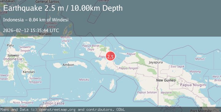
A 2.5 magnitude earthquake struck on NEAR N COAST OF PAPUA, INDONESIA, at Thu, 12 Feb 2026 15:35:44 GMT. Depth: 10km. Reviewed by BMKG seismologists, this minor quake occurred at a magnitude type of m.
Magnitude
2.5
m
Source
BMKG
Intensity
-
Agency Reports
1 Sources| Source | Magnitude | Depth | Time |
|---|---|---|---|
| BMKGPrimary | 2.5 | 10 km | 6 days ago |
Earthquake Details
AutomaticEvent IDemsc_BMKG_20260212_0000198
Tsunami PotentialNo
Magnitude Typem
Nearest Places
- Tapappai7.5 km
- Pulau Nukusa8.9 km
- Pulau Nuana9.0 km
- Pulau Purup11.3 km
- Pulau Nusaner11.4 km
Comments
Join the discussion about this event.
Latest Earthquakes
1.0Mag
Southeastern Alaska
Time5 minutes ago
Depth0.00 km
SourceVYT (Automatic)
3.5Mag
COOK STRAIT, NEW ZEALAND
Time6 minutes ago
Depth75.30 km
SourceGNS (Automatic)
2.4Mag
Seram, Indonesia
Time8 minutes ago
Depth18.42 km
SourceBMKG
2.6Mag
West Papua Region, Indonesia
Time10 minutes ago
Depth17.35 km
SourceBMKG
5.0Mag
CENTRAL MID-ATLANTIC RIDGE
Time11 minutes ago
Depth10.00 km
SourceEMSC (Automatic)
Nearby Earthquakes
3.3Mag
West Papua Region, Indonesia
Time22 hours ago
Depth10.00 km
SourceBMKG
3.0Mag
NEAR N COAST OF PAPUA, INDONESIA
Time1 year ago
Depth11.00 km
SourceBMKG (Automatic)
4.0Mag
NEAR N COAST OF PAPUA, INDONESIA
Time5 years ago
Depth18.00 km
SourceNEIC (Automatic)
2.8Mag
NEAR N COAST OF PAPUA, INDONESIA
Time1 month ago
Depth10.00 km
SourceBMKG (Automatic)
2.5Mag
West Papua Region, Indonesia
Time2 weeks ago
Depth10.00 km
SourceBMKG (Automatic)