Earthquake Southern Sumatra, Indonesia
Wed, 18 Feb 2026 03:50:10 GMT
Time5 hours ago
Location
-5.9500, 104.7813
Depth
11.2 KM
Event Summary
A 2.2 magnitude earthquake struck on Southern Sumatra, Indonesia, at Wed, 18 Feb 2026 03:50:10 GMT. Depth: 11.210973km. Reviewed by BMKG seismologists, this minor quake occurred at a magnitude type of M.
Magnitude
2.2
M
Source
BMKG
Intensity
-
Agency Reports
1 Sources| Source | Magnitude | Depth | Time |
|---|---|---|---|
| BMKGPrimary | 2.2 | 11 km | 5 hours ago |
Earthquake Details
ManualEvent IDbmg2026djzt
Tsunami PotentialNo
Magnitude TypeM
Nearest Places
- Tanjung Cina5.8 km
- Desa Tampang11.4 km
- Danau Menjukut11.7 km
- Tampang11.8 km
- Teluk Tampang11.9 km
Comments
Join the discussion about this event.
Latest Earthquakes
1.5Mag
97 km WNW of Yakutat, Alaska
Time5 hours ago
Depth5.40 km
SourceUSGS (Automatic)
3.3Mag
Minahasa, Sulawesi, Indonesia
Time5 hours ago
Depth6.47 km
SourceVYT (Automatic)
2.5Mag
WESTERN TURKEY
Time5 hours ago
Depth12.80 km
SourceAFAD (Automatic)
2.7Mag
western Texas
Time5 hours ago
Depth0.00 km
SourceVYT (Automatic)
2.0Mag
Andreanof Islands, Aleutian Islands, Alaska
Time5 hours ago
Depth32.84 km
SourceVYT (Automatic)
Nearby Earthquakes
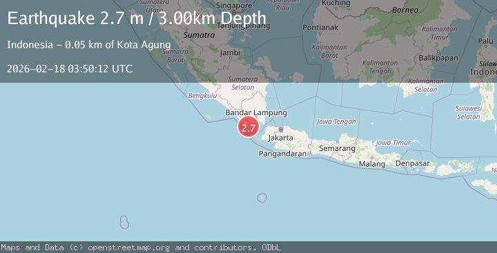
2.7Mag
Southern Sumatra, Indonesia
Time3 weeks ago
Depth10.00 km
SourceBMKG (Automatic)
3.1Mag
SOUTHERN SUMATRA, INDONESIA
Time1 day ago
Depth6.00 km
SourceBMKG (Automatic)
4.0Mag
SOUTHERN SUMATRA, INDONESIA
Time2 years ago
Depth10.00 km
SourceDJA (Automatic)
2.3Mag
Southern Sumatra, Indonesia
Time3 weeks ago
Depth71.47 km
SourceBMKG (Automatic)
5.1Mag
SOUTHERN SUMATRA, INDONESIA
Time8 years ago
Depth100.00 km
SourceEMSC (Automatic)