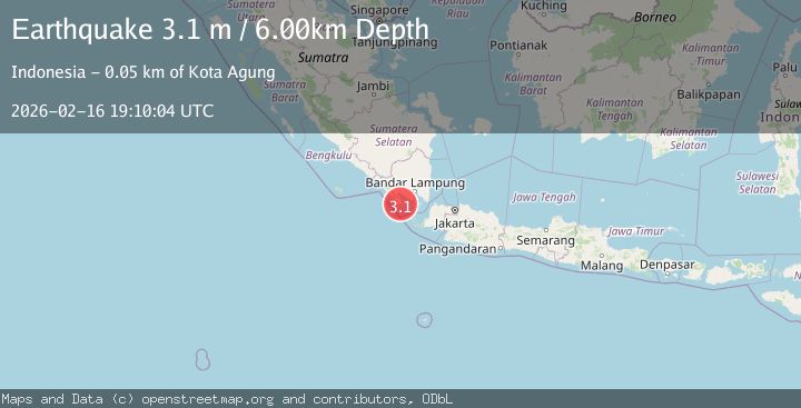
Earthquake SOUTHERN SUMATRA, INDONESIA
Mon, 16 Feb 2026 19:10:04 GMT
Time1 day ago
Location
-5.9500, 104.7200
Depth
6.0 KM
Event Summary
A 3.1 magnitude earthquake struck on SOUTHERN SUMATRA, INDONESIA, at Mon, 16 Feb 2026 19:10:04 GMT. Depth: 6km. Reviewed by BMKG seismologists, this minor quake occurred at a magnitude type of m.
Magnitude
3.1
m
Source
BMKG
Intensity
-
Agency Reports
1 Sources| Source | Magnitude | Depth | Time |
|---|---|---|---|
| BMKGPrimary | 3.1 | 6 km | 1 day ago |
Earthquake Details
AutomaticEvent IDemsc_BMKG_20260216_0000375
Tsunami PotentialNo
Magnitude Typem
Nearest Places
- Tanjung Cina2.8 km
- Danau Menjukut5.2 km
- Desa Tampang6.1 km
- Wai Belambang6.6 km
- Tampang7.8 km
Comments
Join the discussion about this event.
Latest Earthquakes
3.6Mag
Sulawesi, Indonesia
Time9 hours ago
Depth8.18 km
SourceVYT (Automatic)
1.0Mag
Southern Alaska
Time9 hours ago
Depth95.46 km
SourceVYT (Automatic)
2.1Mag
AZORES ISLANDS REGION
Time10 hours ago
Depth15.00 km
SourcePDA (Automatic)
1.7Mag
42 km NW of Toyah, Texas
Time10 hours ago
Depth4.46 km
SourceUSGS (Automatic)
3.2Mag
Antofagasta, Chile
Time10 hours ago
Depth129.76 km
SourceVYT (Automatic)
Nearby Earthquakes
4.1Mag
SUNDA STRAIT, INDONESIA
Time1 day ago
Depth12.00 km
SourceBMKG (Automatic)
2.3Mag
Southern Sumatra, Indonesia
Time3 weeks ago
Depth71.47 km
SourceBMKG (Automatic)
2.7Mag
Southern Sumatra, Indonesia
Time3 weeks ago
Depth10.00 km
SourceBMKG (Automatic)
4.0Mag
SOUTHERN SUMATRA, INDONESIA
Time2 years ago
Depth10.00 km
SourceDJA (Automatic)
5.4Mag
SUNDA STRAIT, INDONESIA
Time20 years ago
Depth40.00 km
SourceEMSC (Automatic)