Earthquake Near North Coast of West Papua
Fri, 30 Jan 2026 18:07:58 GMT
Time1 hour ago
Location
-2.6101, 140.8631
Depth
10.0 KM
Event Summary
A 2.2 magnitude earthquake struck on Near North Coast of West Papua, at Fri, 30 Jan 2026 18:07:58 GMT. Depth: 10km. Reviewed by BMKG seismologists, this minor quake occurred at a magnitude type of M.
Magnitude
2.2
M
Source
BMKG
Intensity
-
Agency Reports
1 Sources| Source | Magnitude | Depth | Time |
|---|---|---|---|
| BMKGPrimary | 2.2 | 10 km | 1 hour ago |
Earthquake Details
AutomaticEvent IDbmg2026ccjm
Tsunami PotentialNo
Magnitude TypeM
Nearest Places
- Skaumaba0.3 km
- Skouyambe1.5 km
- Kimad2.5 km
- Pegunungan Jar4.2 km
- Kampung Skouw Yambe4.2 km
Comments
Join the discussion about this event.
Latest Earthquakes
2.5Mag
Flores Region, Indonesia
Time1 hour ago
Depth158.76 km
SourceBMKG (Automatic)
2.8Mag
SAN JUAN, ARGENTINA
Time1 hour ago
Depth10.00 km
SourceNSNA (Automatic)
3.5Mag
South of Java, Indonesia
Time1 hour ago
Depth10.00 km
SourceBMKG (Automatic)
1.6Mag
2 km W of Garden City, Texas
Time1 hour ago
Depth0.85 km
SourceUSGS (Automatic)
2.2Mag
Java, Indonesia
Time1 hour ago
Depth111.44 km
SourceBMKG (Automatic)
Nearby Earthquakes
2.3Mag
Near North Coast of West Papua
Time1 week ago
Depth10.00 km
SourceBMKG (Automatic)
2.2Mag
Near North Coast of West Papua
Time6 days ago
Depth30.05 km
SourceBMKG (Automatic)
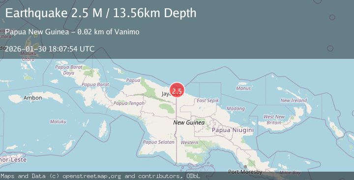
2.5Mag
Near North Coast of West Papua
Time4 days ago
Depth10.00 km
SourceBMKG (Automatic)
2.8Mag
Near North Coast of West Papua
Time1 week ago
Depth10.00 km
SourceBMKG (Automatic)
2.2Mag
Near North Coast of West Papua
Time2 days ago
Depth10.00 km
SourceBMKG (Automatic)