Earthquake NEAR N COAST OF PAPUA, INDONESIA
Fri, 17 Sep 2021 23:03:16 GMT
Time4 years ago
Location
-2.7800, 140.8400
Depth
20.0 KM
Event Summary
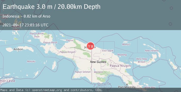
A 3.0 magnitude earthquake struck on NEAR N COAST OF PAPUA, INDONESIA, at Fri, 17 Sep 2021 23:03:16 GMT. Depth: 20km. Reviewed by DJA seismologists, this minor quake occurred at a magnitude type of m.
Magnitude
3.0
m
Source
DJA
Intensity
-
Agency Reports
1 Sources| Source | Magnitude | Depth | Time |
|---|---|---|---|
| DJAPrimary | 3.0 | 20 km | 4 years ago |
Earthquake Details
AutomaticEvent IDemsc_DJA_20210917_0000222
Tsunami PotentialNo
Magnitude Typem
Nearest Places
- Sekanto5.6 km
- Kampung Sangke6.3 km
- Sunggrum6.6 km
- Bewani River6.9 km
- Sungai Yaos7.3 km
Comments
Join the discussion about this event.
Latest Earthquakes
1.2Mag
Southern Alaska
Time3 minutes ago
Depth37.11 km
SourceVYT (Automatic)
3.0Mag
Seram, Indonesia
Time3 minutes ago
Depth12.36 km
SourceBMKG
1.1Mag
Washington
Time7 minutes ago
Depth9.64 km
SourceVYT (Automatic)
1.9Mag
32 km NW of Toyah, Texas
Time9 minutes ago
Depth4.09 km
SourceUSGS (Automatic)
1.7Mag
western Texas
Time12 minutes ago
Depth3.42 km
SourceVYT (Automatic)
Nearby Earthquakes
2.5Mag
Near North Coast of West Papua
Time2 days ago
Depth20.91 km
SourceBMKG
3.0Mag
NEAR N COAST OF PAPUA, INDONESIA
Time2 years ago
Depth10.00 km
SourceBMKG (Automatic)
3.3Mag
Near North Coast of West Papua
Time4 hours ago
Depth10.00 km
SourceBMKG
2.3Mag
Near North Coast of West Papua
Time3 weeks ago
Depth10.00 km
SourceBMKG (Automatic)
3.0Mag
NEAR N COAST OF PAPUA, INDONESIA
Time9 months ago
Depth10.00 km
SourceBMKG (Automatic)