Earthquake Northern Sumatra, Indonesia
Wed, 18 Feb 2026 13:54:58 GMT
Time1 hour ago
Location
3.4480, 97.1612
Depth
65.6 KM
Event Summary
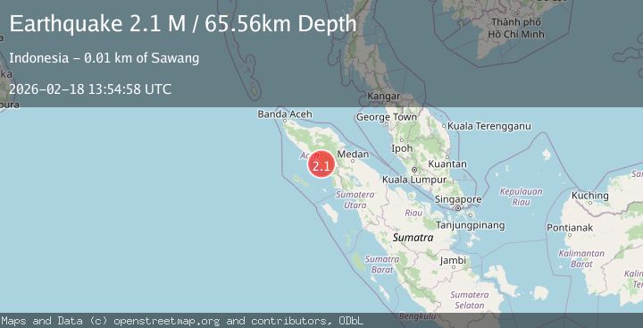
A 2.1 magnitude earthquake struck on Northern Sumatra, Indonesia, at Wed, 18 Feb 2026 13:54:58 GMT. Depth: 65.558472km. Reviewed by BMKG seismologists, this minor quake occurred at a magnitude type of M.
Magnitude
2.1
M
Source
BMKG
Intensity
-
Agency Reports
1 Sources| Source | Magnitude | Depth | Time |
|---|---|---|---|
| BMKGPrimary | 2.1 | 66 km | 1 hour ago |
Earthquake Details
ManualEvent IDbmg2026dktr
Tsunami PotentialNo
Magnitude TypeM
Nearest Places
- Gampong Mutiara1.7 km
- Gunung Meukek3.8 km
- Kecamatan Sawang5.1 km
- Krueng Jambo Papeon5.3 km
- Gampong Panton Luas6.2 km
Comments
Join the discussion about this event.
Latest Earthquakes
2.8Mag
Poland
Time1 hour ago
Depth10.50 km
SourceVYT (Automatic)
1.1Mag
Central Alaska
Time2 hours ago
Depth74.95 km
SourceVYT (Automatic)
3.8Mag
Atacama, Chile
Time2 hours ago
Depth113.40 km
SourceVYT (Automatic)
1.4Mag
Southeastern Alaska
Time2 hours ago
Depth0.00 km
SourceVYT (Automatic)
3.0Mag
northern Sumatra, Indonesia
Time2 hours ago
Depth10.50 km
SourceVYT (Automatic)
Nearby Earthquakes
3.0Mag
NORTHERN SUMATRA, INDONESIA
Time1 year ago
Depth32.00 km
SourceBMKG (Automatic)
3.0Mag
NORTHERN SUMATRA, INDONESIA
Time1 month ago
Depth33.00 km
SourceBMKG (Automatic)
2.2Mag
Northern Sumatra, Indonesia
Time1 week ago
Depth46.92 km
SourceBMKG (Automatic)
3.0Mag
NORTHERN SUMATRA, INDONESIA
Time3 years ago
Depth85.00 km
SourceDJA (Automatic)
5.0Mag
NORTHERN SUMATRA, INDONESIA
Time19 years ago
Depth20.00 km
SourceEMSC (Automatic)