Earthquake Northern Sumatra, Indonesia
Wed, 18 Feb 2026 18:01:15 GMT
Time2 hours ago
Location
3.9511, 97.1271
Depth
4.2 KM
Event Summary
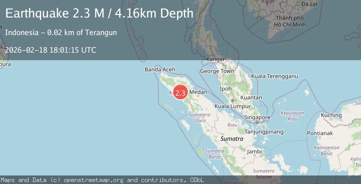
A 2.3 magnitude earthquake struck on Northern Sumatra, Indonesia, at Wed, 18 Feb 2026 18:01:15 GMT. Depth: 4.155525km. Reviewed by BMKG seismologists, this minor quake occurred at a magnitude type of M.
Magnitude
2.3
M
Source
BMKG
Intensity
-
Agency Reports
1 Sources| Source | Magnitude | Depth | Time |
|---|---|---|---|
| BMKGPrimary | 2.3 | 4 km | 2 hours ago |
Earthquake Details
ManualEvent IDbmg2026dlbv
Tsunami PotentialNo
Magnitude TypeM
Nearest Places
- Alue Gayau1.6 km
- Gunung Akul2.7 km
- Gunung Mas-mas2.9 km
- Gampong Ketukah4.0 km
- Jamboalurgayu4.2 km
Comments
Join the discussion about this event.
Latest Earthquakes
2.9Mag
near the coast of Tarapaca, Chile
Time2 hours ago
Depth33.08 km
SourceVYT (Automatic)
2.4Mag
Java, Indonesia
Time2 hours ago
Depth32.97 km
SourceBMKG
2.3Mag
56 km SSE of Perryville, Alaska
Time2 hours ago
Depth34.70 km
SourceUSGS (Automatic)
2.1Mag
Antofagasta, Chile
Time2 hours ago
Depth20.26 km
SourceVYT (Automatic)
1.5Mag
48 km WNW of Tatitlek, Alaska
Time2 hours ago
Depth5.00 km
SourceUSGS (Automatic)
Nearby Earthquakes
4.0Mag
NORTHERN SUMATRA, INDONESIA
Time6 years ago
Depth10.00 km
SourceDJA (Automatic)
2.7Mag
northern Sumatra, Indonesia
Time6 days ago
Depth0.00 km
SourceVYT (Automatic)
5.8Mag
NORTHERN SUMATRA, INDONESIA
Time9 months ago
Depth90.50 km
SourceEMSC (Automatic)
3.0Mag
NORTHERN SUMATRA, INDONESIA
Time3 years ago
Depth10.00 km
SourceDJA (Automatic)
3.0Mag
NORTHERN SUMATRA, INDONESIA
Time4 years ago
Depth121.00 km
SourceDJA (Automatic)