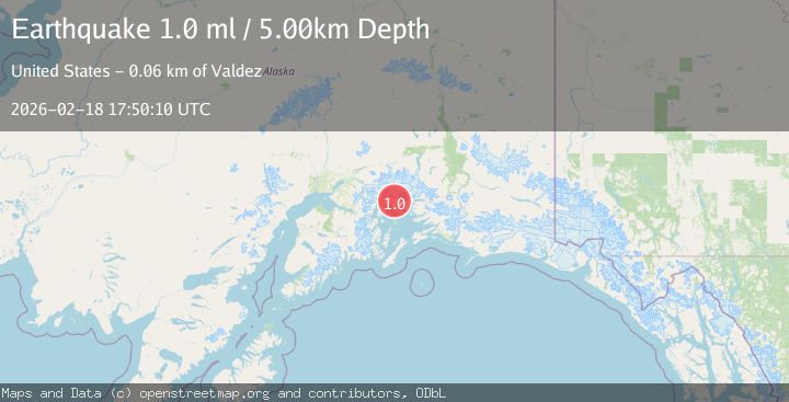
Earthquake 48 km WNW of Tatitlek, Alaska
Wed, 18 Feb 2026 17:50:10 GMT
Time2 hours ago
Location
61.0950, -147.4340
Depth
5.0 KM
Event Summary
A 1.5 magnitude earthquake struck on 48 km WNW of Tatitlek, Alaska, at Wed, 18 Feb 2026 17:50:10 GMT. Depth: 5km. Reviewed by USGS seismologists, this minor quake occurred at a magnitude type of ml.
Magnitude
1.5
ml
Source
USGS
Intensity
-
Agency Reports
2 Sources| Source | Magnitude | Depth | Time |
|---|---|---|---|
| USGSPrimary | 1.0 | 5 km | 2 hours ago |
| VYT | 1.5 | 10 km | 2 hours ago |
Earthquake Details
AutomaticEvent IDusgs_aka2026dlmilf
Tsunami PotentialNo
Magnitude Typeml
Nearest Places
- Miners Lake1.7 km
- Miners River3.9 km
- Brilliant Glacier4.2 km
- Miners Bay4.3 km
- Pedro Glacier7.7 km
Comments
Join the discussion about this event.
Latest Earthquakes
2.7Mag
Unimak Island region, Alaska
Time2 hours ago
Depth0.00 km
SourceVYT (Automatic)
1.6Mag
Kenai Peninsula, Alaska
Time2 hours ago
Depth78.98 km
SourceVYT (Automatic)
2.3Mag
Region Metropolitana, Chile
Time2 hours ago
Depth19.17 km
SourceVYT (Automatic)
2.3Mag
Minahasa, Sulawesi, Indonesia
Time2 hours ago
Depth13.06 km
SourceVYT (Automatic)
1.9Mag
Tarapaca, Chile
Time2 hours ago
Depth0.00 km
SourceVYT (Automatic)
Nearby Earthquakes
1.3Mag
47 km WNW of Tatitlek, Alaska
Time3 weeks ago
Depth5.00 km
SourceUSGS (Automatic)
1.4Mag
50 km WNW of Tatitlek, Alaska
Time2 weeks ago
Depth22.00 km
SourceUSGS (Automatic)
1.4Mag
Southern Alaska
Time6 days ago
Depth7.08 km
SourceVYT (Automatic)
1.5Mag
52 km WNW of Tatitlek, Alaska
Time3 weeks ago
Depth7.30 km
SourceUSGS (Automatic)
1.4Mag
51 km NW of Tatitlek, Alaska
Time2 weeks ago
Depth14.40 km
SourceUSGS (Automatic)